What is recorded here
In grassland on reclaimed flat pasture with named bush (TS053-028----) 140m to E and moated site (TS053-026----) 120m to W. No remains of well indicated as Hebricks well on 1843 ed. OS 6-inch map. There is no evidence to suggest this well is pre-1700 A.D.
Compiled by: Jean Farrelly
Date of upload: 26 August 2011
The monument record does not grant public access. Check the route and ask the landowner before entering private land.
- What survives
- Recorded monument
Places near here
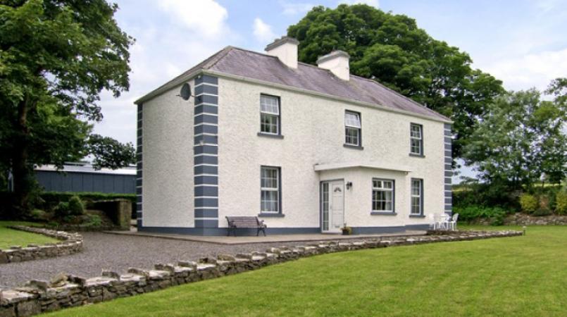 Enclosure in Grallagh (graystown Par.)Enclosure · 225 yd
 Grallagh CastleCastle · 1409 yd
 Noan Housegate lodge · 1.3 mi
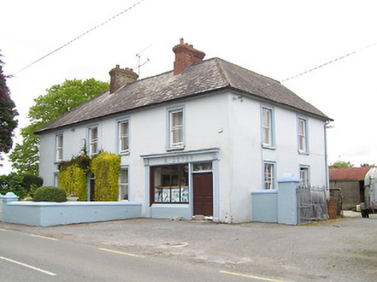 M. Dwyerhouse · 1.3 mi
 IndicatedFairy fort / earthen ringfort · 1.6 mi
 Noan WoodWood · 1.8 mi
 Ballinure HillMountain / peak · 1.8 mi
 Gobban Saer's GraveArchaeological place · 1.9 mi
 Taylor's WoodWood · 2.0 mi
 Horse and JockeyVisitor information · 2.0 mi
 Gift Horse GalleryGallery · 2.2 mi
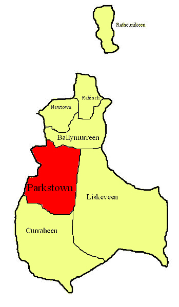 Parkstown Castle (site of)Castle, unclassified · 2.3 mi