What is recorded here
Archaeological testing (99E0565) c. 25m outside the perimeter of the ecclesiastical enclosure of St. Stephen’s (WX029-013006-) at N produced evidence of two hearths. A subrectangular area (dims. 1.5m x 1.1m) on the fire-reddened subsoil produced charcoal but no artefacts. A similar feature (L 0.65m) on a fire-reddened soil was further N, but there were no other features. (Sullivan 2000)
Compiled by: Michael Moore
Date of upload: 1 August, 2012
The monument record does not grant public access. Check the route and ask the landowner before entering private land.
- What survives
- Recorded monument
Places near here
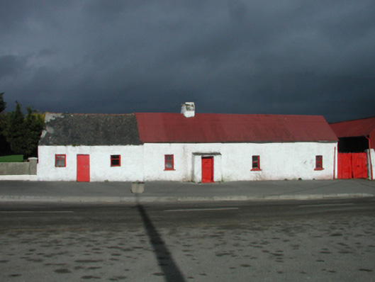 farm housefarm house · 40 yd
 Site of St. Stephens ChapelChurch · 88 yd
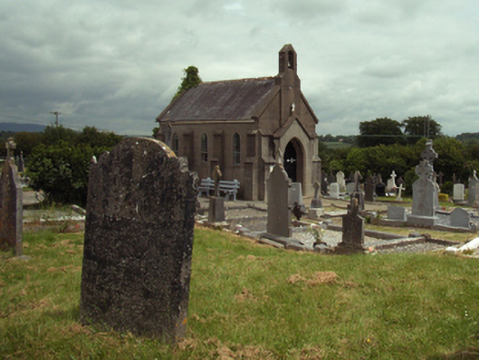 Saint Stephen's Cemeterygraveyard/cemetery · 113 yd
 St. Stephens WellHoly well · 195 yd
 Battle of New Ross (1798)Major battlefield · 1241 yd
 O'NeillMemorial · 1391 yd
 Ros Tapestry ExhibitionGallery · 1524 yd
 DunbrodyHeritage attraction · 1528 yd
 Crutched FriarsMemorial · 1533 yd
 IndicatedBawn · 1569 yd
 Forest Of The DunbrodyForest · 1.9 mi
 Lacken HillMountain / peak · 1.9 mi