What is recorded here
Excavated (E3479) during 2005 by E. Moore as part of Site 14 at Coolnastudd, which was one of the excavations undertaken in advance of the construction of the N11 Arklow-Gorey link-road. Situated on a slight SE-facing slope with the headwaters of a SW-NE stream c. 200m to the SE. A single pit (diam. 0.75-0.85m; D 0,.1m) contained silty clay. Four sherds of pottery and some lithics were recovered. A deposit of burning was also recorded, but it was not related to the pit. (Moore 2008)
Compiled by: Michael Moore
Date of upload: 12 April, 2012
The monument record does not grant public access. Check the route and ask the landowner before entering private land.
- What survives
- Recorded monument
Places near here
 IndicatedConcentric enclosure · 188 yd
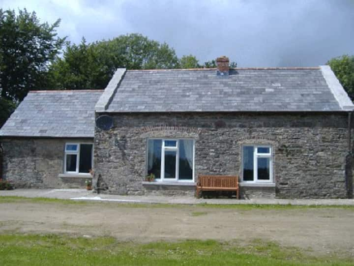 Fulacht fia in CoolnastuddFulacht fia · 515 yd
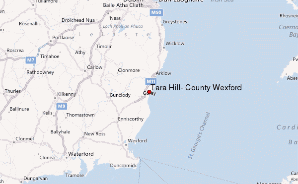 Ballyminaun HillMountain / peak · 889 yd
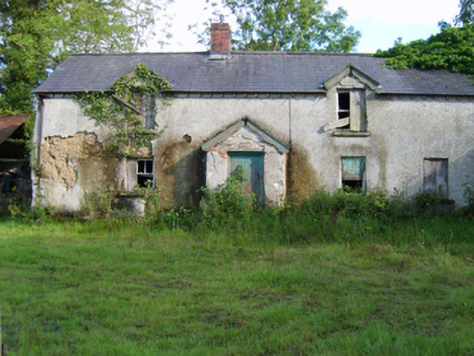 farm housefarm house · 919 yd
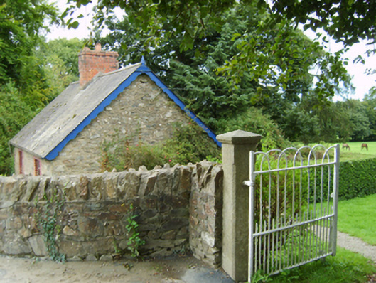 Coolnastudd Housegates/railings/walls · 977 yd
 Carriganeagh RockMountain / peak · 1.1 mi
 Barnadown WoodWood · 1.6 mi
 1798 MonumentMemorial · 1.8 mi
 Market HouseHeritage attraction · 2.0 mi
 Ballingarry WoodForest · 3.7 mi
 Giants BedNamed rock · 5.6 mi
 Saint Brigid's WellSpring · 5.9 mi