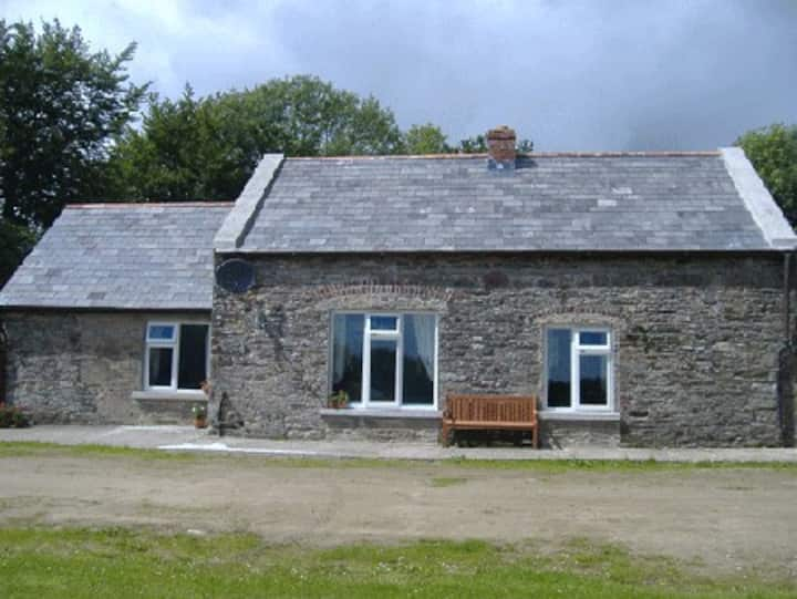
What is recorded here
Excavated (E3481) during 2005 by E. Moore as part of Site 14 at Coolnastudd, which was one of the excavations undertaken in advance of the construction of the N11 Arklow-Gorey link-road. Situated on a SE-facing slope with the headwaters of a SW-NE stream c. 140m to the SW. An area of bunrt mound material (dims 12.8m x 9.3m; max. D 0.4m) overlay eight troughs, but only two were directly beneath the remains of the mound. One trough was rectangular (dims 3.7m x 1.3m; D 0.25m) and the rest were subcircular in form (diam. 1.15m - 3m; D 0.3-0.7m), but some may have functioned as pits. None of the troughs produced evidence of timber-lining, and no hearth was recorded. (Moore 2008)
Compiled by: Michael Moore
Date of upload: 12 April, 2012
The monument record does not grant public access. Check the route and ask the landowner before entering private land.
- What survives
- Recorded monument
Places near here
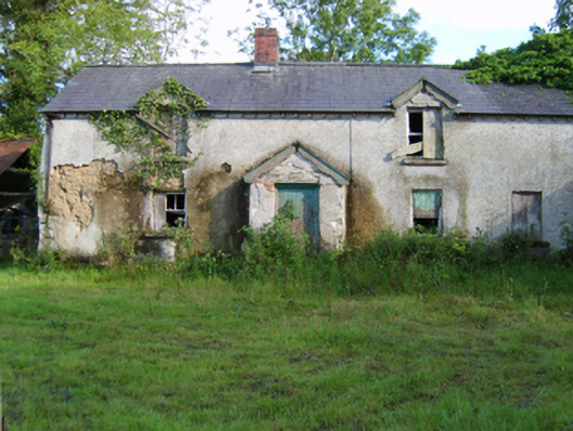 farm housefarm house · 446 yd
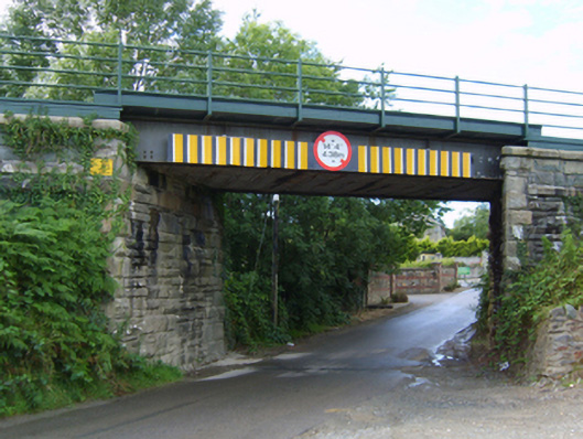 Coolnaveagh Bridgebridge · 647 yd
 IndicatedConcentric enclosure · 698 yd
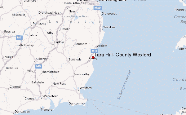 Ballyminaun HillMountain / peak · 765 yd
 Carriganeagh RockMountain / peak · 1583 yd
 Field system in Moneycross UpperField system · 1.3 mi
 1798 MonumentMemorial · 1.5 mi
 Barnadown WoodWood · 1.7 mi
 Market HouseHeritage attraction · 1.8 mi
 Ballingarry WoodForest · 3.6 mi
 Giants BedNamed rock · 5.8 mi
 Saint Brigid's WellSpring · 6.1 mi
Other information
Photo: Credit not shown in the picture search · Rights wording not checked; contact us if this picture should be removed