What is recorded here
Following site description of Site No. 04E0015 (Part 2) (Ballynacarrick 1 (Part 2)) taken from NRA archaeological database website. Archaeological testing carried out under excavation licence no. 04E0015 (Part 2) by Fintan Walsh of I.A.C. Ltd as part of the Ballyshannon/Bundoran Bypass road scheme revealed a habitation site and Iron Age hearth. Excavation licence number 04E0015.
This site was located in a sheltered low-lying area sheltered by elevated rock outcrops on northern and western sides and overlooked a turlough to the south. An Iron Age isolated hearth was located at this site. It was c. 0.8 m in diameter and 0.18 m in depth and had three fills containing charcoal flecks and burnt clay. Charcoal analysis Hazel (Corylus avellana) was identified from a fill of the hearth. Radiocarbon dating of the charcoal (hazel) from hearth, 2040 +/- 50 BP, 180 cal. BC - cal. AD 70 (2 sigma).
The monument record does not grant public access. Check the route and ask the landowner before entering private land.
- What survives
- Recorded monument
Places near here
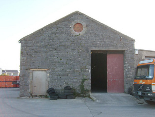 Ballyshannon Railway Stationstore/warehouse, goods shed · 183 yd
 Church in Ballyhanna (ballyshannon Ed)Church · 398 yd
 CastleCastle, unclassified · 734 yd
 Rory GallagherMemorial · 841 yd
 Standing stone in Townparks (ballyshannon Ed)Standing stone · 938 yd
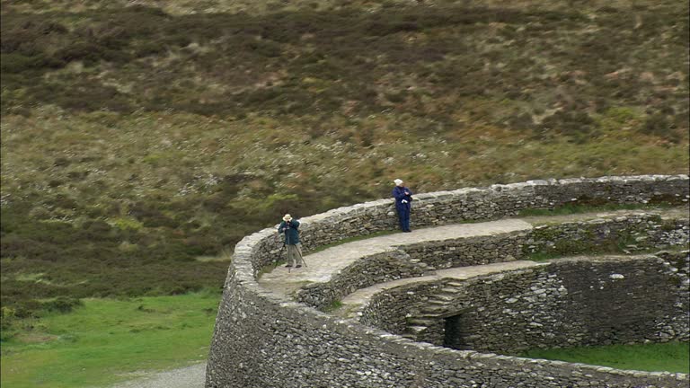 Carrickboy Stone RingfortFairy fort / stone ringfort · 1065 yd
 St Anne's Church GraveyardGraveyard · 1120 yd
 Castle in ruinsCastle, unclassified · 1.3 mi
 Wardtown StrandBeach / strand · 2.4 mi
 Tullan StrandBeach / strand · 2.6 mi
 Cliffs by BundoranPublicly named cliff or headland · 3.3 mi
 HawthornHawthorn · 3.4 mi