What is recorded here
This is the record for the 'hearth, associated with five postholes and a spread ... that returned a date in the late Bronze Age' excavated by Gill McLoughlin (E4253) on the N11 road improvement scheme. (McLoughlin 2010a)
Compiled by: Denis Power
Date of upload: 10 January 2013
The monument record does not grant public access. Check the route and ask the landowner before entering private land.
- What survives
- Recorded monument
Places near here
 Church (site of)Church · 637 yd
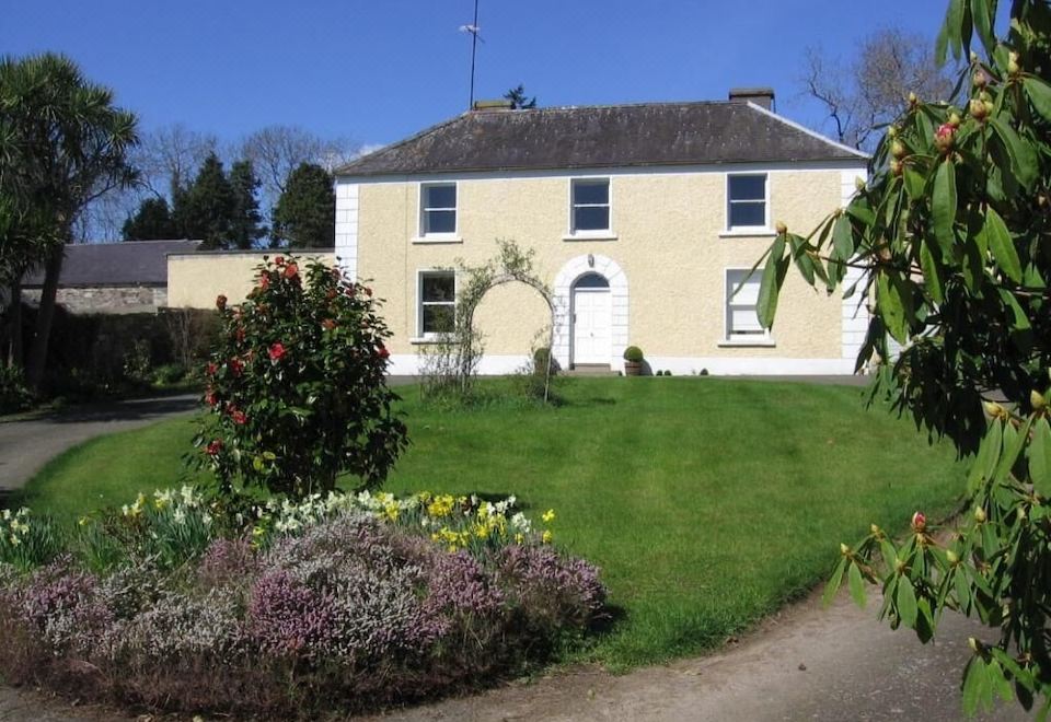 Enclosure in BallinacleaEnclosure · 950 yd
 Church in BallyvaltronChurch · 1444 yd
 Tree PlantationForest · 1620 yd
 Castletimon Church (in ruin)Church · 1.4 mi
 European YewEuropean Yew · 1.5 mi
 Brittas BayBeach / strand · 2.1 mi
 Furzeditch BeachBeach / strand · 3.4 mi
 Viewing TowerHeritage attraction · 5.3 mi
 Meeting of the WatersHeritage attraction · 5.5 mi
 Site of CastleCastle, unclassified · 5.8 mi
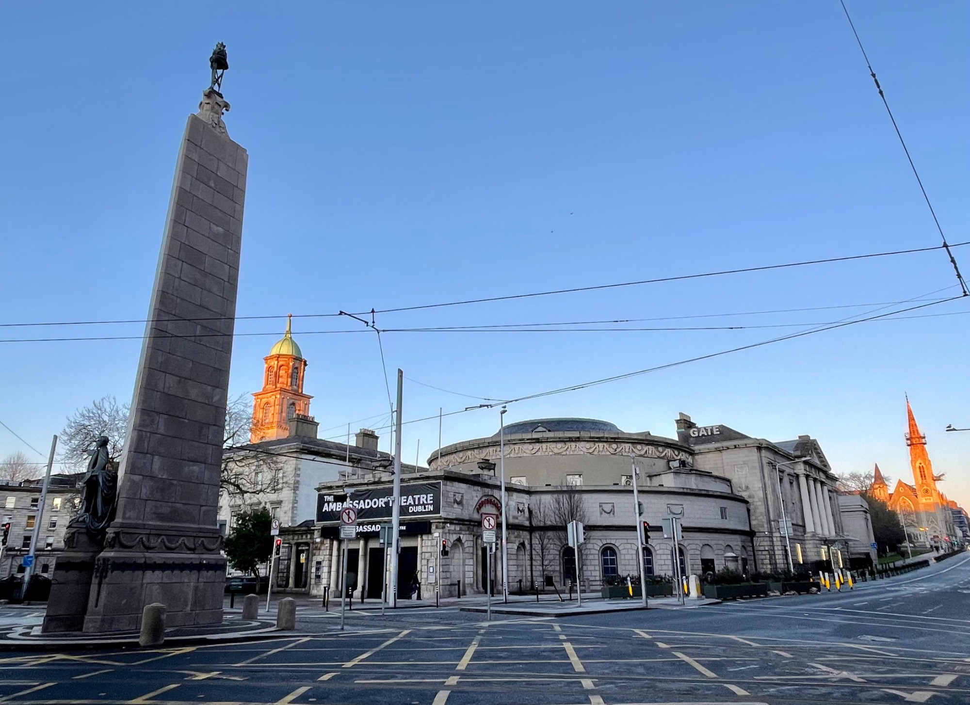 Parnell MonumentMemorial · 6.0 mi