What is recorded here
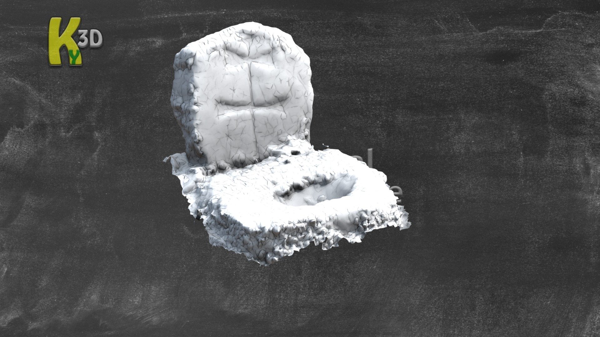
Cross-slab 131 in Ráithín Uí Bhuaigh still lies low beside the old burial ground, its rounded top wearing a Latin cross with expanded terminals and an early IHS monogram. The graveyard stands on elevated ground above Dingle Harbour, preserved within a much changed landscape shaped by Lord Ventry in 1870. Beneath the later roads and banks, the earlier raheen keeps its own quiet line, holding dead names that never needed a monument to remain remembered.
In 2010 a graveyard survey carried out by Laurence Dunne recorded the following details about a cross-inscribed headstone no. 131: 'Raheenyhooig- Ráithín Uí Bhuaigh Graveyard [KE053-059002-] is situated on elevated ground, at 50m OD, sloping towards and overlooking Dingle Harbour 0.8km to the north. Examination of the 2nd Edition of 1896 clearly shows the enormous changes that Lord Ventry made in 1870 including the planting of trees, construction of squared off enclosing banks and new roadway as well as the Ventry mausoleum-denoted ‘Vault’ on the map. An ‘L’ shaped pathway is also shown. Of particular interest is the denotation of the remains of the previous enclosure [KE053-059001-] or raheen of the burial ground by a curving array of hachures. In the course of this study a coherent section of the early enclosure and at least thirty archaeological artefacts (mainly cross-slabs) were recorded at Raheenyhooig.
Sixteen previously unrecorded cross-slabs were recorded in Raheenyhooig Graveyard. They are disposed around the centre of the graveyard within the limits of the earlier enclosure. Cross-slab (131) is a low slab with rounded top that possibly dates to the late 17th century or early 18th as it features a Latin cross with expanded terminals and incorporating an early evolving form of the IHS monogram' (Dunne 2010, 13).
See attached plan and photograph courtesy of Laurence Dunne
Compiled by: Caimin O'Brien based on details provided by Laurence Dunne
Date of upload: 28 June 2022
The monument record does not grant public access. Check the route and ask the landowner before entering private land.
- What survives
- Recorded monument
Places near here
 Raheenyhooig Grave Yard, dotted outlineBurial ground · 17 yd
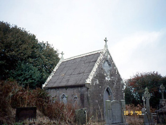 Reilig Ráithín Uí Bhuaigh [Reheenyhooig Graveyard]mausoleum · 44 yd
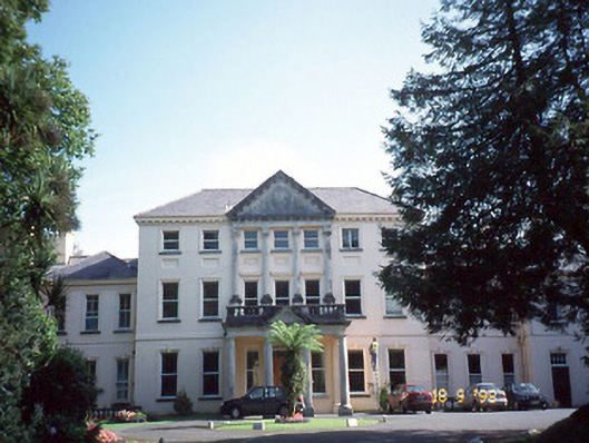 Coláiste Ídecountry house · 700 yd
 ToberinirtHoly well · 742 yd
 Site of Ballingolin CastleArchaeological place · 928 yd
 CastleCastle, unclassified · 933 yd
 Cnoc na CeathrúnMountain / peak · 1.1 mi
 Memorial to all who lost their lives in our seas.Memorial · 1.6 mi
 Dingle Marina Dive CentreHeritage attraction · 1.7 mi
 Charles HaugheyMemorial · 1.8 mi
 Hussy's FollyHeritage attraction · 1.9 mi
 An Chathair AirdMountain / peak · 2.3 mi