What is recorded here
At a minor route centre in gently undulating farmland. Known in medieval sources as the manor of 'Admekin' or 'Athmakyn', which Knox (1901a, 168) suggests is a corruption of 'Ath Mac Cing', and which was later rendered as 'Ath Cind' or Headford. Walter de Ridelsford established a castle (GA042-021001-) there in the late 1230s and a 'water-mill … a fishery, with a pool' and a 'Court' are mentioned in 1281 (ibid., 170). However, Knox (ibid., 172) could find no references to it after 1302. The settlement was probably close by the castle, though there is no evidence for a medieval church nearby and there is little in the layout of the modern town to suggest a medieval origin. As Holland (1988, 79-81) points out, it is unclear whether it was a borough or simply a manorial village. (Knox 1901b, 367-8)
The above description is derived from the published 'Archaeological Inventory of County Galway Vol. II - North Galway'. Compiled by Olive Alcock, Kathy de hÓra and Paul Gosling (Dublin: Stationery Office, 1999).
Date of upload: 05 August 2010
The monument record does not grant public access. Check the route and ask the landowner before entering private land.
- What survives
- Recorded monument
Places near here
 Saint Mary's Catholic Churchchurch/chapel · 220 yd
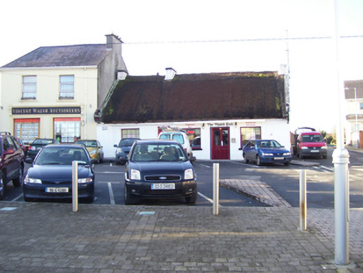 public housepublic house · 332 yd
 Headford CastleCastle, unclassified · 598 yd
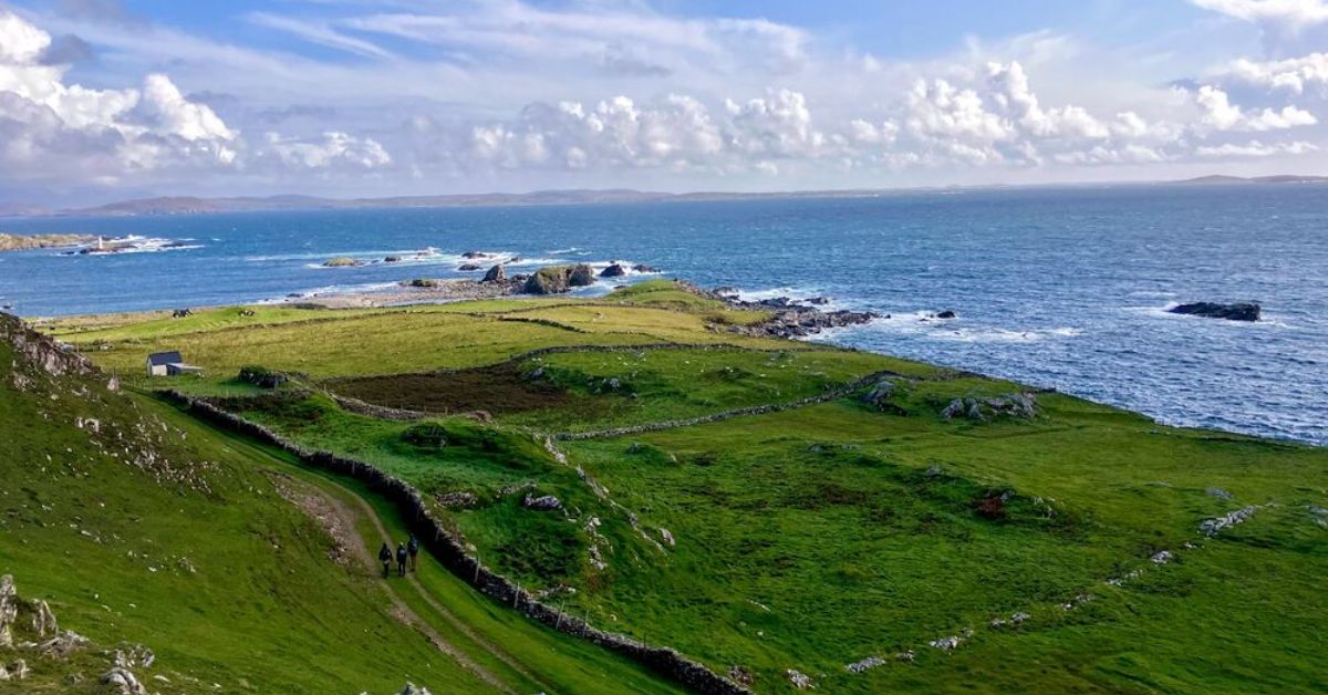 IndicatedFairy fort / earthen ringfort · 1613 yd
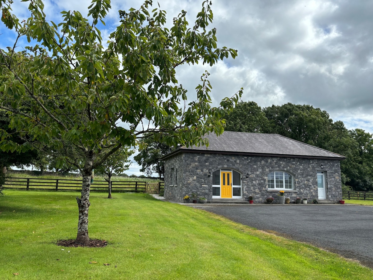 Enclosure in ArdfintanEnclosure · 1647 yd
 Ross Errilly FriaryHeritage attraction · 1.2 mi
 Moyne Castle in ruinsCastle, unclassified · 1.4 mi
 BallynacreggaWood · 2.9 mi
 Walsh's IslandIslet · 3.5 mi
 Kilcoona Round TowerHeritage attraction · 3.5 mi
 Ballinduff BayBay · 4.5 mi
 Cregg PlantationForest · 4.6 mi