What is recorded here
Half a kilometre south of Curralanty Castle and two hundred metres west of the bullaun stone, a trapezoidal platform still holds its shape on a north-facing upland slope. Its degraded bank and dry fosse refuse the usual wetland logic of moated sites, suggesting defiance rather than domesticity. The possible ramped entrance at the west side invites imagination about who climbed it and why, while the rounded corners preserve a shape sharp enough to remember.
Situated on N facing slope of rising ground in upland area. Curralanty Castle (OF042-003----) 500m to N, bullaun stone (OF042-006----) 200m to E. Trapezoidal-shaped platform (dims. 48m N-S; 54.5m E-W ) enclosed by a much degraded bank with raised rounded corners and a wide flat bottomed dry fosse (Wth 2.5m) with slight evidence of an outer bank at S and possible ramped entrance at S end of W side of platform. The location of the site in an upland area along with no indicator of water source for the fosse are unusual for moated sites.
To see a 3D model of the moated site visit https://skfb.ly/osTO8
The above description is derived from the published 'Archaeological Inventory of County Offaly' (Dublin: Stationery Office, 1997). In certain instances the entries have been revised and updated in the light of recent research.
Date of upload: 23 May 2011
The monument record does not grant public access. Check the route and ask the landowner before entering private land.
- What survives
- Recorded monument
Places near here
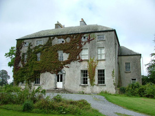 Corolanty Housecountry house · 530 yd
 IndicatedHouse, fortified house · 586 yd
 Enclosure in GalballyEnclosure · 771 yd
 Church in ruinsChurch · 1157 yd
 Fulacht fia in TubbridFulacht fia · 1230 yd
 Bawn in ShinroneBawn · 1.7 mi
 Cangort WoodWood · 2.1 mi
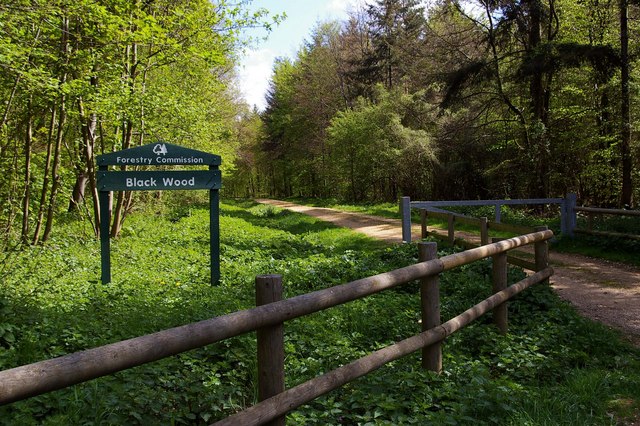 Black WoodForest · 3.0 mi
 Eagle HillMountain / peak · 3.8 mi
 Golden Grove HillMountain / peak · 4.7 mi
 Leap Castlegate lodge · 5.2 mi
 MacDonagh HouseMemorial · 6.4 mi