What is recorded here
Hachured is a fairy fort in County Limerick, Ireland, where two ringforts face each other across 150m of pasture. The eastern entrance still points toward its twin, as if the fields were once a chamber rather than empty ground. Trees have climbed the bank and scrub has filled the circle, but the shape remains clear enough to suggest people lived there before the land became quiet.
In pasture, 90m NW of the townland boundary with Dollas Upper. One of two ringforts in the townland (LI030-057/59----) on an E-W alignment 150m apart. The site is depicted as an enclosure on the 1840 ed. OSi 6-inch map and is later shown as a circular-shaped ringfort (ext. dims. c. 45m N-S; 44m E-W) enclosed by a bank and external fosse with entrance at E on the 1897 ed. OSi 25-inch map. The ringfort is visible on OSi orthoimage taken 2005-12 and on Digital Globe orthoimages taken 2011-2013 where mature trees have grown on the ringfort bank, the external fosse is within the surrounding field in pasture. The enclosure is visible on Google Earth orthoimages taken 28/06/2018 and 14/02/2020 with growing scrub developing within the monument.
See attached Google Earth orthoimages
Compiled by: Edmond O’Donovan
Date of upload: 1 October 2020
The monument record does not grant public access. Check the route and ask the landowner before entering private land.
- What survives
- Recorded monument
Places near here
 Hachured/Externally Indicated (1924).Fairy fort / earthen ringfort · 216 yd
 Church in Dollas UpperChurch · 723 yd
 CastleCastle, unclassified · 723 yd
 Field boundary in Dollas LowerField boundary · 914 yd
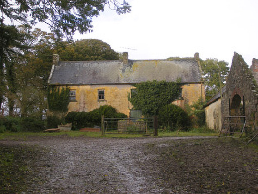 Dollas Housefarm house · 1052 yd
 Kinnoor WellSpring · 1.1 mi
 Kilmacow Ho.Bawn · 1.2 mi
 Dysert AenghusaHeritage attraction · 1.8 mi
 KnockfeerinaMountain / peak · 2.4 mi
 Biodiversity in the Maigue CatchmentVisitor information · 2.5 mi
 European ashEuropean ash · 2.6 mi
 Famine stoneMemorial · 2.9 mi