
What is recorded here
Hachured is a 45m earthen ringfort in a Limerick woodland, one of two aligned east-west 150m apart. Its southern entrance gap still faces the open ground while trees crowd the west and scrub fills the centre. The east wall has become a field boundary, blending human ownership with older shape. What lives inside now is memory, moss and the patience of soil remembering hands.
In a woodland plantation, 270m E of the townland boundary with Ballymackeamore. One of two ringforts in the townland (LI030-057/059----) on an E-W alignment 150m apart. The site is depicted as an enclosure on the 1840 ed. OSi 6-inch map and is shown as a possible ringfort (ext. dims. c. 45m N-S; 45m E-W) enclosed by a bank and external fosse with entrance gap at S on the 1897 ed. OSi 25-inch map. Monument visible on OSi orthoimage taken 2005-12 and on Digital Globe orthoimages taken 2011-2013 surrounded by a forestry plantation to the W and SW and with scrub woodland developing within the monument, the external fosse has remained more open and there appears to be an unplanted exclusion zone around the NW, W and SW side of the site. The E side of the ringfort has been incorporated into a field boundary. The enclosure is visible on Google Earth orthoimages taken 28/06/2018 and 14/02/2020.
See attached Google Earth orthoimages
Compiled by: Edmond O’Donovan
Date of upload: 1 October 2020
The monument record does not grant public access. Check the route and ask the landowner before entering private land.
- What survives
- Recorded monument
Places near here
 CastleCastle, unclassified · 593 yd
 Hachured (1924).Fairy fort / earthen ringfort · 915 yd
 Church in Dollas UpperChurch · 929 yd
 Field boundary in Dollas LowerField boundary · 1040 yd
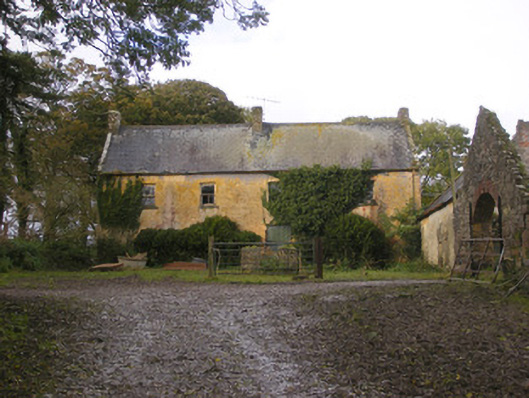 Dollas Housefarm house · 1225 yd
 Kinnoor WellSpring · 1756 yd
 Kilmacow Ho.Bawn · 1.1 mi
 Dysert AenghusaHeritage attraction · 1.9 mi
 KnockfeerinaMountain / peak · 2.3 mi
 Biodiversity in the Maigue CatchmentVisitor information · 2.6 mi
 European ashEuropean ash · 2.7 mi
 Famine stoneMemorial · 2.8 mi
Other information
Photo: Credit not shown in the picture search · Rights wording not checked; contact us if this picture should be removed