What is recorded here
On flat pasture with excellent views, 250m SW of the townland boundary with Carrow. The enclosure is 340m S of a miscellaneous excavation (LI030-173----) undertaken by Kate Taylor (02E0629) on Bord Gáis Éireann's Pipeline to the West (Grogan, O’Donnell & Johnston 2007, 246-7). The site is depicted as a large circular-shaped earthwork (ext. diam. c. 60m) on the 1840 ed. OSi 6-inch map. Shown as a distinct sub-rectangular shaped enclosure (ext. dims. c. 49.5m N-S; 35m E-W) surrounded by an enclosing bank and ditch on the 1897 ed. OSi 25-inch map. The site is visible as a sub-rectangular shaped cropmark on the OSi orthoimage taken 2005-12 and on Digital Globe orthoimages taken 2011-2013. The levelled enclosure is visible on Google Earth orthoimages taken 28/06/2018 and 14/02/2020. A large sub-triangular shaped cropmark (relic field) abuts the SE side of the enclosure and appears to respect the external boundary of the site.
See attached Google Earth orthoimages
Compiled by: Edmond O’Donovan
Date of upload: 1 October 2020
The monument record does not grant public access. Check the route and ask the landowner before entering private land.
- What survives
- Recorded monument
Places near here
 IndicatedCountry house · 1173 yd
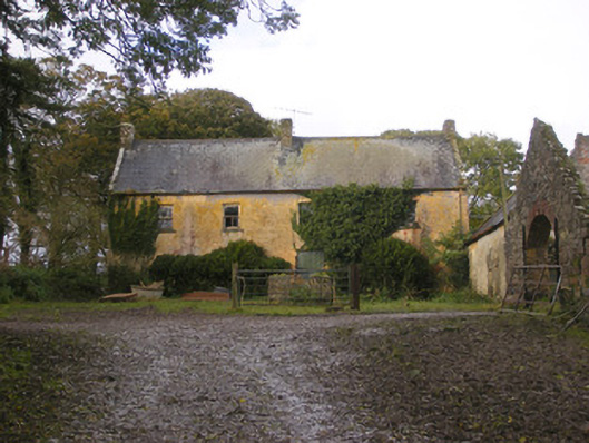 Dollas Housefarm house · 1204 yd
 Castle (in ruins)Castle, unclassified · 1342 yd
 Field boundary in Dollas LowerField boundary · 1695 yd
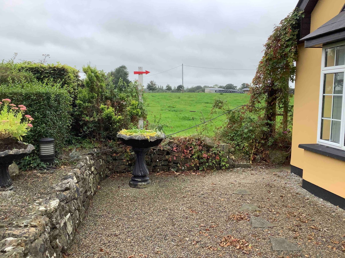 Enclosure in Anhid EastEnclosure · 1.2 mi
 CastleCastle, unclassified · 1.4 mi
 European ashEuropean ash · 1.8 mi
 Dysert AenghusaHeritage attraction · 1.8 mi
 Biodiversity in the Maigue CatchmentVisitor information · 2.0 mi
 Kinnoor WellSpring · 2.0 mi
 KnockfeerinaMountain / peak · 3.2 mi
 Monasteranenagh AbbeyHeritage attraction · 3.6 mi