What is recorded here
Hachured (1838). is a barrow, unclassified in Treanmore (tirerrill By.), County Sligo, Ireland. It stands in elevated pasture on a ridge summit with excellent views in all directions. A circular raised area seven point four metres across is defined by an earthen bank. An external fosse is evident north-northeast to north-northwest, truncated at north by an oval flat-bottomed pond-like depression.
In elevated pasture, on the summit of a ridge with excellent views in all directions. A circular raised area (diam. 7.4m) defined by an earthen bank (int. H 0.2m; ext. H 0.5m). An external fosse (D 0.4m) is evident NNE-NNW; the fosse is truncated at N by an oval flat-bottomed pond-like depression (12m N-S; 10m E-W) which lies 2m from the base of the bank. The depression is defined by a scarp (H 1.1m) and is waterlogged with some peat growth at its centre. This may be a ritual feature associated with the barrow. Traces of a low external bank (Wth 1.5m; H 0.25m) around the barrow, noted during a previous site inspection in 1993 (SMR (1989) file), are no longer visible.
The above description is derived from the published 'Archaeological Inventory of County Sligo' compiled by Ursula Egan, Elizabeth Byrne, Mary Sleeman with Sheila Ronan and Connie Murphy (Dublin Stationery Office, 2005).
Date of upload: 18 January 2008
The monument record does not grant public access. Check the route and ask the landowner before entering private land.
- What survives
- Recorded monument
Places near here
 Indicated (1838).Fairy fort / earthen ringfort · 565 yd
 Enclosure in Dromore (tirerrill By., Kilmactranny Ed)Enclosure · 1014 yd
 Foyoges Bridgebridge · 1.1 mi
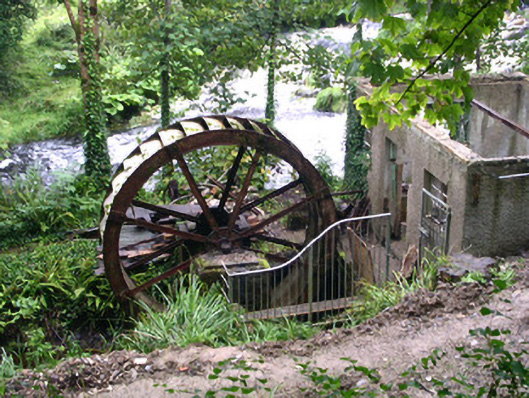 hydroelectric power stationhydroelectric power station · 1.1 mi
 Geevagh Prisoners 1908 MemorialMemorial · 1.6 mi
 Josie McDermott MemorialMemorial · 1.8 mi
 Green IslandIslet · 2.0 mi
 Barroe NorthMountain / peak · 2.3 mi
 Annagh WoodForest · 2.5 mi
 Roundhouse Hill WoodForest · 2.5 mi
 Loughbrick BayBay · 2.5 mi
 Ballindoon Castle (in Ruins)Castle, unclassified · 2.8 mi