What is recorded here
In improved, wet pasture, 115m W of a townland boundary with Brackyle. Enclosure (LI024-275----) lies 85m to SSW. Depicted on the 1897 ed. OS 25-inch map as a roughly oval-shaped earthwork. Possible bivallate ringfort surveyed by the ASI in 2008 and described as an oval-shaped area (25m N-S; 21m E-W) defined by the remains of a bank (Wth 1.25m; H 0.2m) mainly reduced to a scarp with fosse (overall Wth 3.75m; basal Wth 1.6m; D 0.15m) and a short portion of external bank (L 5m; Wth 2.2m; int. H 0.15m; ext. H 0.15m) only visible at SW. The interior is grass covered and has a raised oval-shaped area (5.5m NW-SE; 3.5m NE-SW) in the W quadrant, which may represent a hut site. According to local information, this monument is called the ‘round O’. Monument is visible as a faint cropmark on OSi orthoimage taken 2005-2012 and on Google Earth orthoimage taken 28/06/2018.
See attached Google Earth orthoimage 28/06/2018 and a sketch plan which was measured and drawn by the ASI in 2008.
Compiled by: Alison McQueen and Vera Rahilly
Date of upload: 27 September 2020
The monument record does not grant public access. Check the route and ask the landowner before entering private land.
- What survives
- Recorded monument
Places near here
 BarrowBarrow, ditch barrow · 867 yd
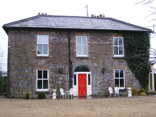 Sunville Househouse · 973 yd
 Enclosure in SunvilleEnclosure · 997 yd
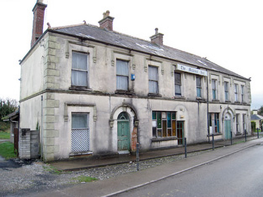 hotelhotel · 1163 yd
 ToberagaddySpring · 1257 yd
 Kilduff CastleCastle · 1277 yd
 Kilduff Castle (in ruins)Castle, tower house · 1278 yd
 KnockseefinMountain / peak · 2.0 mi
 Oola HillMountain / peak · 4.2 mi
 St. Patrick's WellSpring · 4.6 mi
 Graveyard in AbingtonGraveyard · 5.9 mi
 Flat cemetery in Knockainy WestFlat cemetery · 8.9 mi