What is recorded here
Hachured is a faint oval scar in wet Limerick pasture, still called the round O by local people. Its thin bank and shallow ditch survive beside a possible hut mound, waiting for rain to reveal what grass hides. The shape resists forgetting, marking human presence long before roads or walls claimed the flat green field.
In improved, wet pasture, 115m W of a townland boundary with Brackyle. Enclosure (LI024-275----) lies 85m to SSW. Depicted on the 1897 ed. OS 25-inch map as a roughly oval-shaped earthwork. Possible bivallate ringfort surveyed by the ASI in 2008 and described as an oval-shaped area (25m N-S; 21m E-W) defined by the remains of a bank (Wth 1.25m; H 0.2m) mainly reduced to a scarp with fosse (overall Wth 3.75m; basal Wth 1.6m; D 0.15m) and a short portion of external bank (L 5m; Wth 2.2m; int. H 0.15m; ext. H 0.15m) only visible at SW. The interior is grass covered and has a raised oval-shaped area (5.5m NW-SE; 3.5m NE-SW) in the W quadrant, which may represent a hut site. According to local information, this monument is called the ‘round O’. Monument is visible as a faint cropmark on OSi orthoimage taken 2005-2012 and on Google Earth orthoimage taken 28/06/2018.
See attached Google Earth orthoimage 28/06/2018 and a sketch plan which was measured and drawn by the ASI in 2008.
Compiled by: Alison McQueen and Vera Rahilly
Date of upload: 27 September 2020
The monument record does not grant public access. Check the route and ask the landowner before entering private land.
- What survives
- Recorded monument
Places near here
 BarrowBarrow, ditch barrow · 867 yd
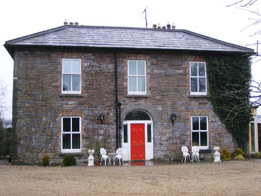 Sunville Househouse · 973 yd
 Enclosure in SunvilleEnclosure · 997 yd
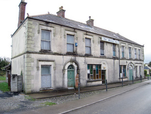 hotelhotel · 1163 yd
 ToberagaddySpring · 1257 yd
 Kilduff CastleCastle · 1277 yd
 Kilduff Castle (in ruins)Castle, tower house · 1278 yd
 KnockseefinMountain / peak · 2.0 mi
 Oola HillMountain / peak · 4.2 mi
 St. Patrick's WellSpring · 4.6 mi
 Graveyard in AbingtonGraveyard · 5.9 mi
 Flat cemetery in Knockainy WestFlat cemetery · 8.9 mi