What is recorded here
Half-buried in Kilkenny grassland, Hacahured keeps its eastern bank and northern edge while the rest has vanished into soil and memory. The surviving ridge stands fifteen centimetres above the ground in places, broad enough to walk but no longer tall enough to command the valley below. What was lost may have been a home, a shrine or a boundary marker for people who never wrote their name anywhere except the shape they left behind.
A little below the crest (W side) of a small hillock, on the W side, in rolling reclaimed grassland. There are fair views in all directions, with a small stream valley to the S and SW. The N portion and E side of a large enclosure (dims. c. 94m N-S; c. 48m E-W) are depicted on the 1900 revision of the OS 6-inch map. On the ground (dims. 80m N-S; 20m E-W) these surviving parts of a larger enclosure are defined on the E side by a bank (Wth 2m; int. H c. 0.5m), infilled fosse or berm (Wth c. 2.5m), outer bank (Wth 4m; H c. 1.5m) and probable outer fosse suggested by an outer band of soft and wet ground. On the N side only the inner bank survives. The bank is composed of course sand and gravel and is heavily overgrown with scrub. There is an entrance (Wth 5m) mid-way along the E side. N side consists of 20m length of inner bank. The S and W sides are not visible at ground level.
Compiled by: Jean Farrelly
Date of upload: 12 June 2019
The monument record does not grant public access. Check the route and ask the landowner before entering private land.
- What survives
- Recorded monument
Places near here
 Enclosure in GarnagaleEnclosure · 242 yd
 Enclosure in RathclevinEnclosure · 492 yd
 CastleCastle, tower house · 759 yd
 Lisduff Bridgebridge · 1147 yd
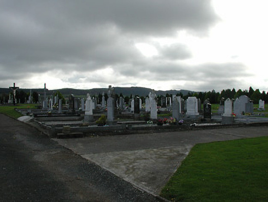 Saint Patrick's Catholic Churchgraveyard/cemetery · 1176 yd
 Kildrinagh WoodForest · 1.3 mi
 Four Acre WoodForest · 1.7 mi
 Killahy Castle in ruinsCastle, unclassified · 1.8 mi
 Clomantagh HillMountain / peak · 3.5 mi
 Bregaun HillMountain / peak · 4.0 mi
 John HelyMemorial · 4.2 mi
 DelaneyMemorial · 4.4 mi
Other information
Photo: Credit not shown in the picture search · Rights wording not checked; contact us if this picture should be removed