What is recorded here
Clusters of pits and postholes on a local level area on north-facing hillslope. Excellent
views from the north-east to north-west. Evidence for several buildings are seen by
dispersed postholes. Three postholes form a line, perhaps representing a single
building. Other postholes (including a double) may represent the central supports for
buildings that have left no other evidence. Some of the pits appear to be cooking pits
or cremations as burnt bone is found in charcoal-rich fills. One pit contains fragments
of prehistoric pottery.
Compiled by: Caimin O'Brien.
Date of upload: 22 September 2008
The monument record does not grant public access. Check the route and ask the landowner before entering private land.
- What survives
- Recorded monument
Places near here
 Castle (in ruins)Castle, tower house · 631 yd
 Dotted lineBawn · 748 yd
 Grave YardEcclesiastical enclosure · 1318 yd
 Enclosure in CastleroanEnclosure · 1591 yd
 Kiln in Boola (bourney Par.)Kiln · 1621 yd
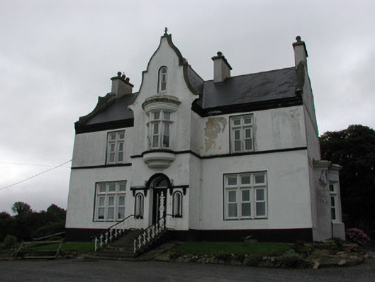 The Rectoryrectory/glebe/vicarage/curate's house · 1.6 mi
 Longford WoodForest · 2.4 mi
 White MulberryWhite Mulberry · 3.7 mi
 BenduffMountain / peak · 3.8 mi
 Roscrea Petty Sessions HouseHeritage attraction · 4.4 mi
 Borrisnoe MountainMountain / peak · 4.9 mi
 Millennium GardenMemorial · 5.4 mi