
What is recorded here
Situated on a natural hillock in undulating terrain. The Royal Visitation of 1615 described the building as a 'church and chancell downe' (Murphy 1914, 222). A poorly preserved church (TN017-042002) constructed of roughly coursed irregular blocks of sandstone and limestone rubble. The graveyard (TN017-042003) extends downslope from the church towards the S and is enclosed by a hexagonal stone wall. It was enclosed by an earlier bank/collapsed wall (c. 50m E-W; Wth 1.4m) which is particularly apparent SW, W and NE of the church (Wth 1.4m; int. H 0.26m; ext. H 1.06m) but peters out to the SE and E. N of the church, outside the later stone wall there is a ramp (Wth c. 6m; L c. 30m; avg. H 0.7m) which appears to be running up to the enclosure and may represent an earlier entrance feature. The townland name has been interpreted as the Rath of St Mobheog (Stout 1984, 90).
The above description is derived from 'The Archaeological Inventory of County Tipperary. Vol. 1 - North Tipperary' compiled by Jean Farrelly and Caimin O'Brien (Dublin: Stationery Office, 2002). In certain instances the entries have been revised and updated in the light of recent research.
Date of upload/revision: 22 September 2008
A local fairy fort (ringfort/rath); wider significance not recorded.
The monument record does not grant public access. Check the route and ask the landowner before entering private land.
- What survives
- Recorded monument
Places near here
 Castle (in ruins)Castle, tower house · 852 yd
 Enclosure in CastleroanEnclosure · 1429 yd
 Hollywell Millmill (water) · 1583 yd
 Holly WellHoly well · 1621 yd
 OutlinedCastle, Anglo-Norman masonry castle · 1.1 mi
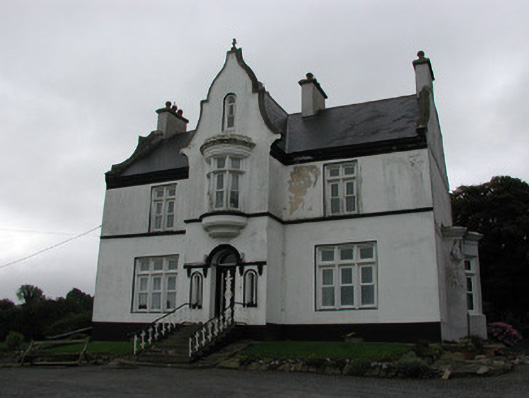 The Rectoryrectory/glebe/vicarage/curate's house · 1.3 mi
 Longford WoodForest · 1.7 mi
 BenduffMountain / peak · 3.1 mi
 Borrisnoe MountainMountain / peak · 4.1 mi
 White MulberryWhite Mulberry · 4.5 mi
 Roscrea Petty Sessions HouseHeritage attraction · 5.1 mi
 Millennium GardenMemorial · 6.1 mi
Other information
Photo: Credit not shown in the picture search · Rights wording not checked; contact us if this picture should be removed