What is recorded here
Habitation site in Rathnaveoge Lower is a habitation site in Rathnaveoge Lower, County Tipperary, Ireland. A circular bowl-oven with reddened sides anchors the area, while a southwest-northeast ditch held cremated bone and hearth sweepings that may represent dumped food waste rather than deliberate burial. The broader location includes removed field boundaries, a possible building or structure, and a track junction recorded on the 1835 survey.
Area Possible Structure: Includes removed field boundaries and may be a form of
building / structure. This point is a cross / junction of some tracks shown or implied
on 1835 Survey so may be medieval / post-medieval. This building, if it exists, may
be associated with a quarry marked on S side of LMA here on 1835 survey. The focal
point was a circular bowl-oven with reddened sides:
Area ditch with burnt bone: One area of cremated bone and hearth sweepings visible
as a fill in a ditch. Date unknown. Several areas of cremated bone found in a ditch
oriented SW-NE. The cremated bone may be in cuts through the ditch but the whole
feature is likely to be dumped food waste. Burnt animal bones were identified.
Compiled by: Caimin O'Brien.
Date of upload: 22 September 2008
The monument record does not grant public access. Check the route and ask the landowner before entering private land.
- What survives
- Recorded monument
Places near here
 Castle (in ruins)Castle, tower house · 381 yd
 Enclosure in CastleroanEnclosure · 719 yd
 Grave YardEcclesiastical enclosure · 1081 yd
 Dotted lineBawn · 1197 yd
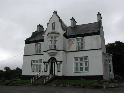 The Rectoryrectory/glebe/vicarage/curate's house · 1.1 mi
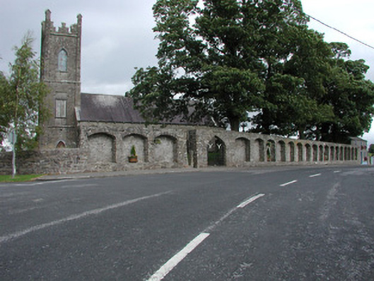 Dunkerrin Churchchurch/chapel · 1.2 mi
 Longford WoodForest · 2.4 mi
 BenduffMountain / peak · 3.5 mi
 White MulberryWhite Mulberry · 4.0 mi
 Borrisnoe MountainMountain / peak · 4.6 mi
 Roscrea Petty Sessions HouseHeritage attraction · 4.8 mi
 Millennium GardenMemorial · 5.8 mi