What is recorded here
Situated on level, low-lying land associated with the mud-flats of an inlet on the E side fo the estuary of the Blackwater river. Archaeological testing and excavation (05E0594) uncovered three areas of archaeological deposits suggestive of prehistoric activity. (Doolan and Tierney 2005; Tierney 2008l)
Doolan, A. and Tierney, J. (2005) Archaeological test excavation report, Kinsalebeg, Piltown, Co. Waterford. Unpublished report. Authors.
Tierney, J. (2008l) Kinsalebeg. Possible clay extraction pits. In Bennett (2008) Excavations 2005: summary accounts of archaeological excavations in Ireland, P 364, No. 1498. Wordwell, Dublin..
Compiled by: Michael Moore
Date of upload: 07 October 2011
The monument record does not grant public access. Check the route and ask the landowner before entering private land.
- What survives
- Recorded monument
Places near here
 R. C. ChapelChurch · 100 yd
 Flour MillMill, unclassified · 355 yd
 Site of CastleCastle, unclassified · 397 yd
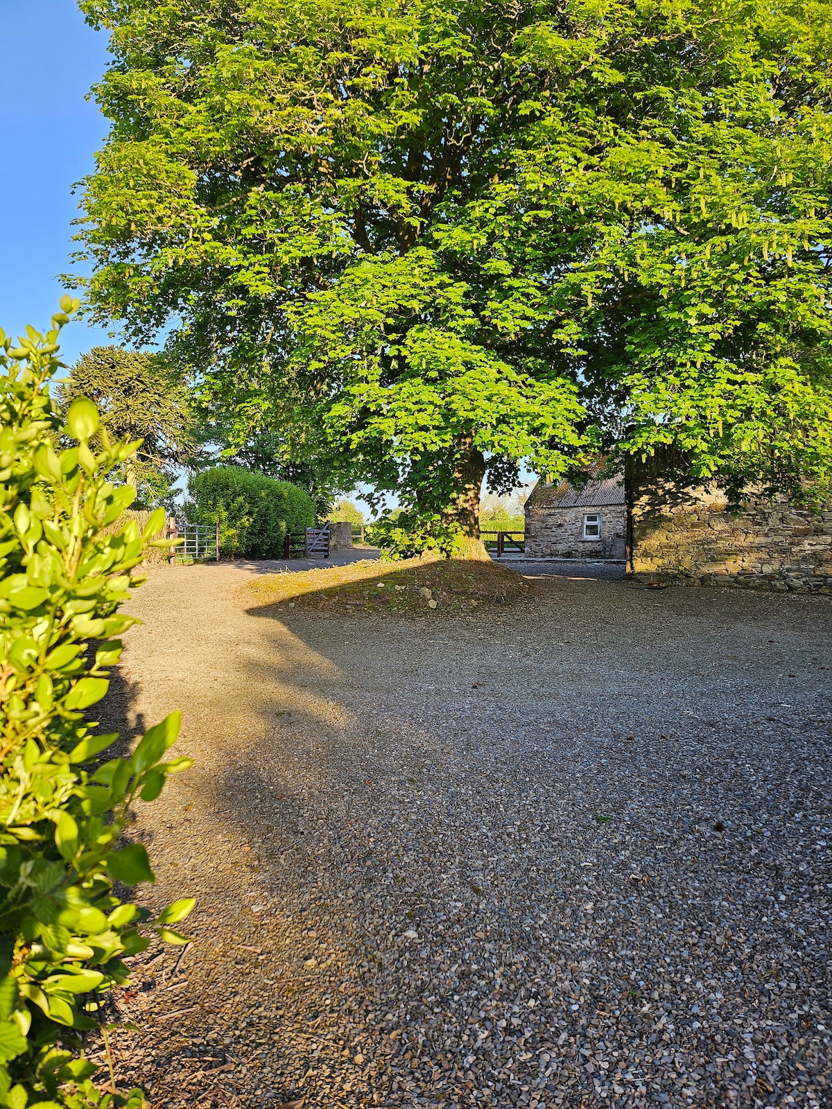 KinsalebegSettlement cluster · 488 yd
 St. Bartholomews WellHoly well · 607 yd
 Kilmaloo LoughWood · 1.3 mi
 Ferry PointViewpoint · 1.6 mi
 Store Street & New Catherine StreetVisitor information · 1.8 mi
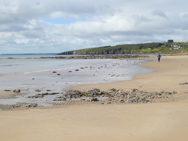 Whiting BayBeach / strand · 1.9 mi
 John "Jack" FoleyMemorial · 1.9 mi
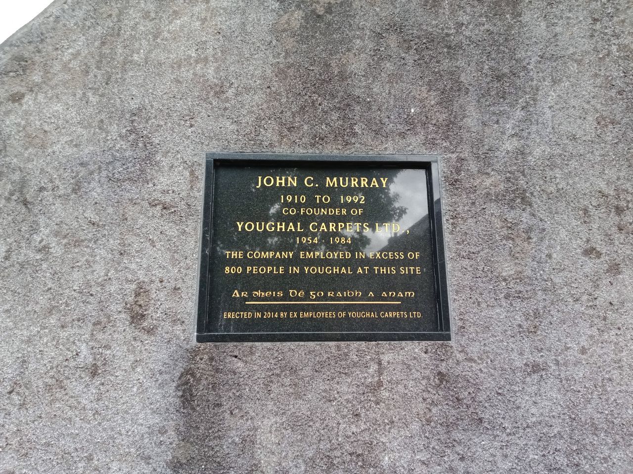 John C. MurrayMemorial · 1.9 mi
 The WatergateHeritage attraction · 1.9 mi