What is recorded here
Archaeological monitoring (Licence No. 02E1547) of topsoil-stripping revealed several spreads of charcoal covering an area of 15m by 15m, containing several small post-holes and a pit (Bennett 2004, 539)
Date of upload: 23 October 2012
The monument record does not grant public access. Check the route and ask the landowner before entering private land.
- What survives
- Recorded monument
Places near here
 Enclosure in Inchanappa SouthEnclosure · 138 yd
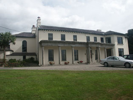 Inchanappa Househouse · 392 yd
 Church in Inchanappa SouthChurch · 474 yd
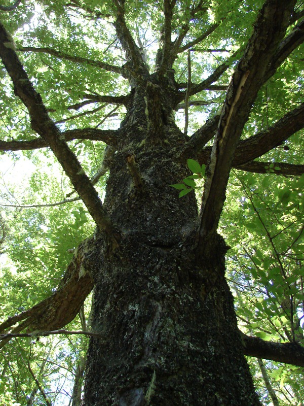 Rauli beechRauli beech · 582 yd
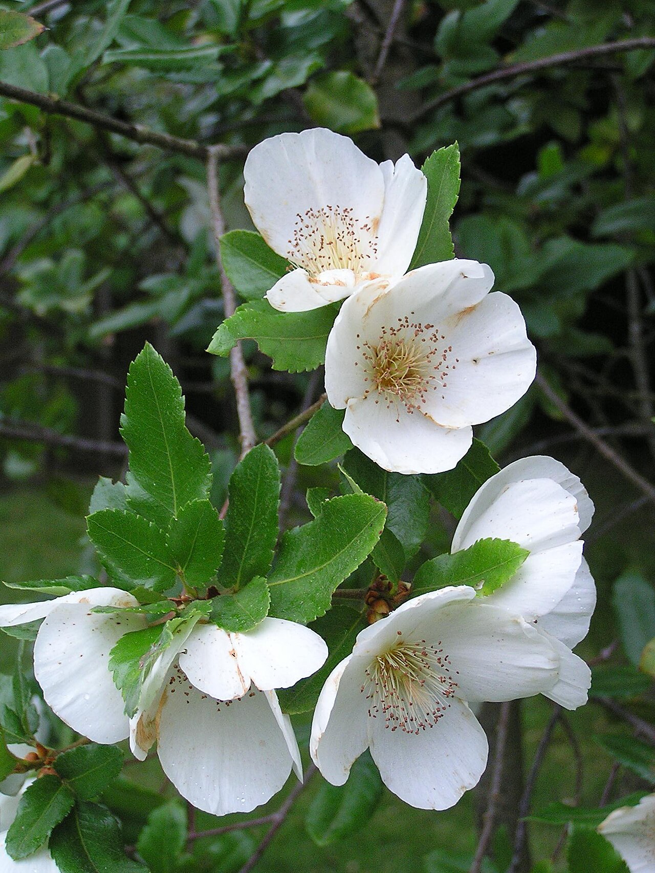 Nymans eucryphiaNymans eucryphia · 595 yd
 Enclosure in BroomfieldEnclosure · 701 yd
 CastleCastle, unclassified · 1.1 mi
 Round MountCastle, motte · 2.9 mi
 Devil's Glen WaterfallWaterfall · 3.1 mi
 Carrick MountainMountain / peak · 3.4 mi
 Glen Beach Cliff WalkWalking route · 4.5 mi
 Silver StrandBeach / strand · 5.3 mi