What is recorded here
In 2003, prior to construction of the M7 Heath-Mayfield Motorway, archaeological excavation (Excavation licence No. 03E0634 http://www.excavations.ie Accessed 28 August 2012) uncovered ‘hearth activities’ with associated post-holes and disturbed subsoil.
Compiled by: Gearóid Conroy
Date of upload: 29 August 2012
The monument record does not grant public access. Check the route and ask the landowner before entering private land.
- What survives
- Recorded monument
Places near here
 Green's WoodForest · 724 yd
 Moore Abbey WoodWood · 1226 yd
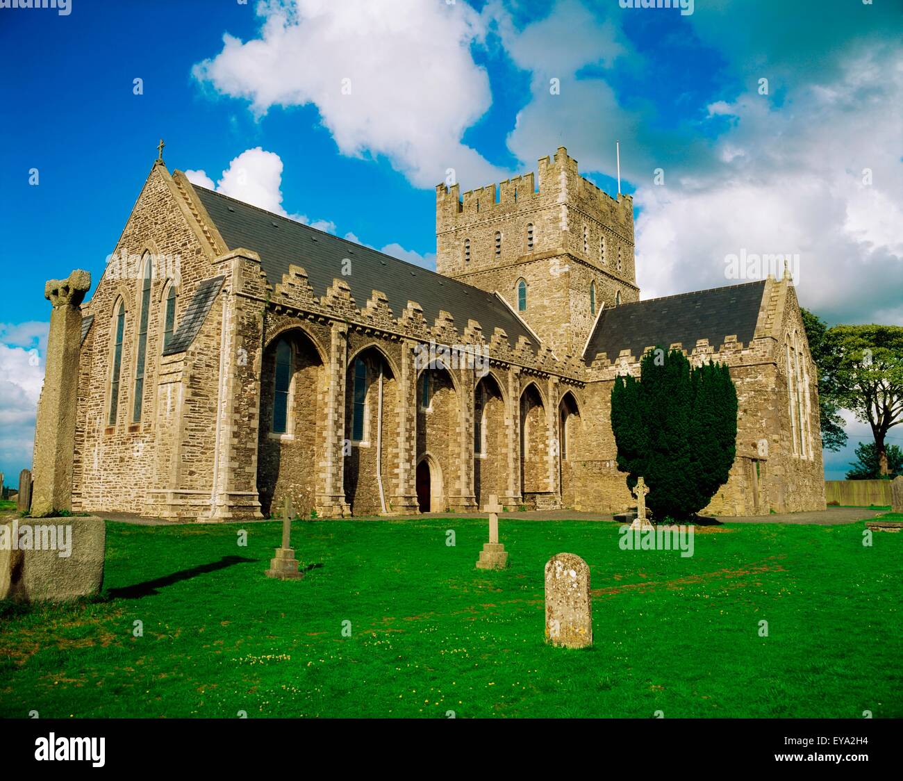 St. Bridgets WellHoly well · 1674 yd
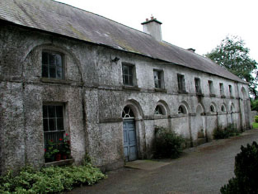 Riverstown Househouse · 1.0 mi
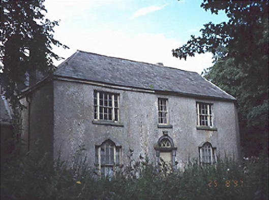 Belan Househouse · 1.0 mi
 Enclosure in Killeen WestEnclosure · 1.2 mi
 OutlinedCastle, unclassified · 3.4 mi
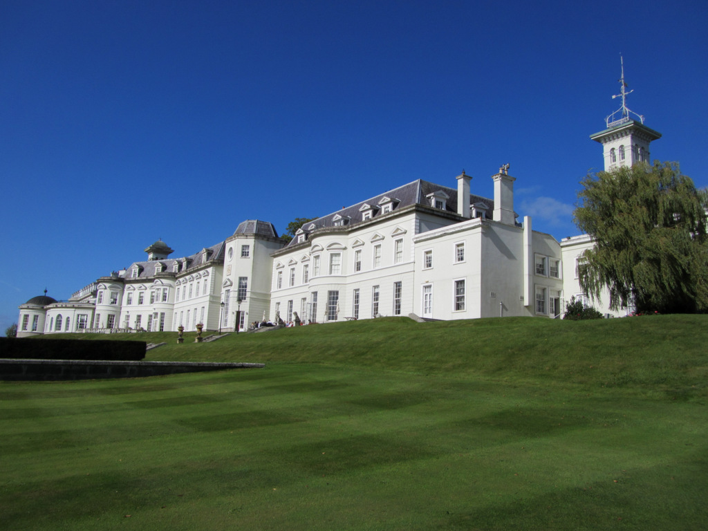 Cloney CastleCastle, unclassified · 3.7 mi
 Church (in Ruins), GraveyardChurch · 4.9 mi
 Bog Lake WalkWalking route · 6.9 mi
 Derryounce Walk (Yellow Loop)Walking route · 7.2 mi
 Bithia Mary CrokerMemorial · 7.7 mi