What is recorded here
Kilmacredock Upper holds two shallow pits and a thin spread of material, but no house, hearth or tool has ever appeared beside them. The land may have swallowed a temporary camp or simply collected rubbish from a nearby road. The earth keeps that much of itself back, offering a hole instead of a life.
Eighteen potential archaeological sites were found during monitoring of topsoil-stripping on the Celbridge Interchange, from April to December 2001 (Licence no. 01E0306). Most were resolved through subsequent excavation. The scheme was approximately 4km in length and ran from Celbridge to Leixlip through gently undulating land with a mixture of arable, pasture and woodland. The southern part of the scheme runs through an area heavily influenced by 18th-century landscape design, with avenues, woodland and tree-lined field boundaries centred on the early 18th-century house at Castletown.
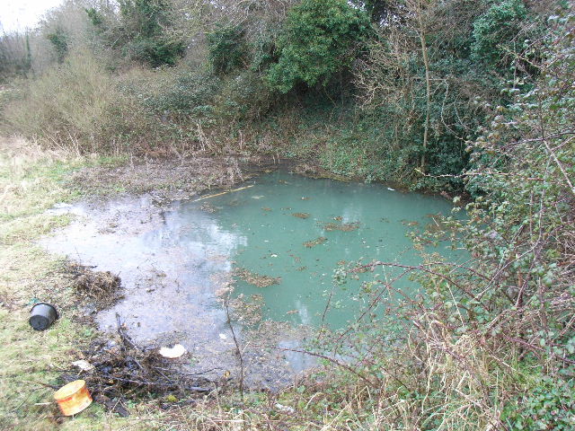
This site (Site 3) was excavated under the monitoring licence. The site (dims. L 5.5m; Wth 4.5m) consisted of two pits, possibly rubbish-pits, with associated fills and a small, thin spread of material. These features were not associated with any structures or other evidence of habitation. No artefacts were found. (www.excavations.ie)
Compiled by: Gearóid Conroy
Date of upload: 10 June 2011
The monument record does not grant public access. Check the route and ask the landowner before entering private land.
- What survives
- Recorded monument
Places near here
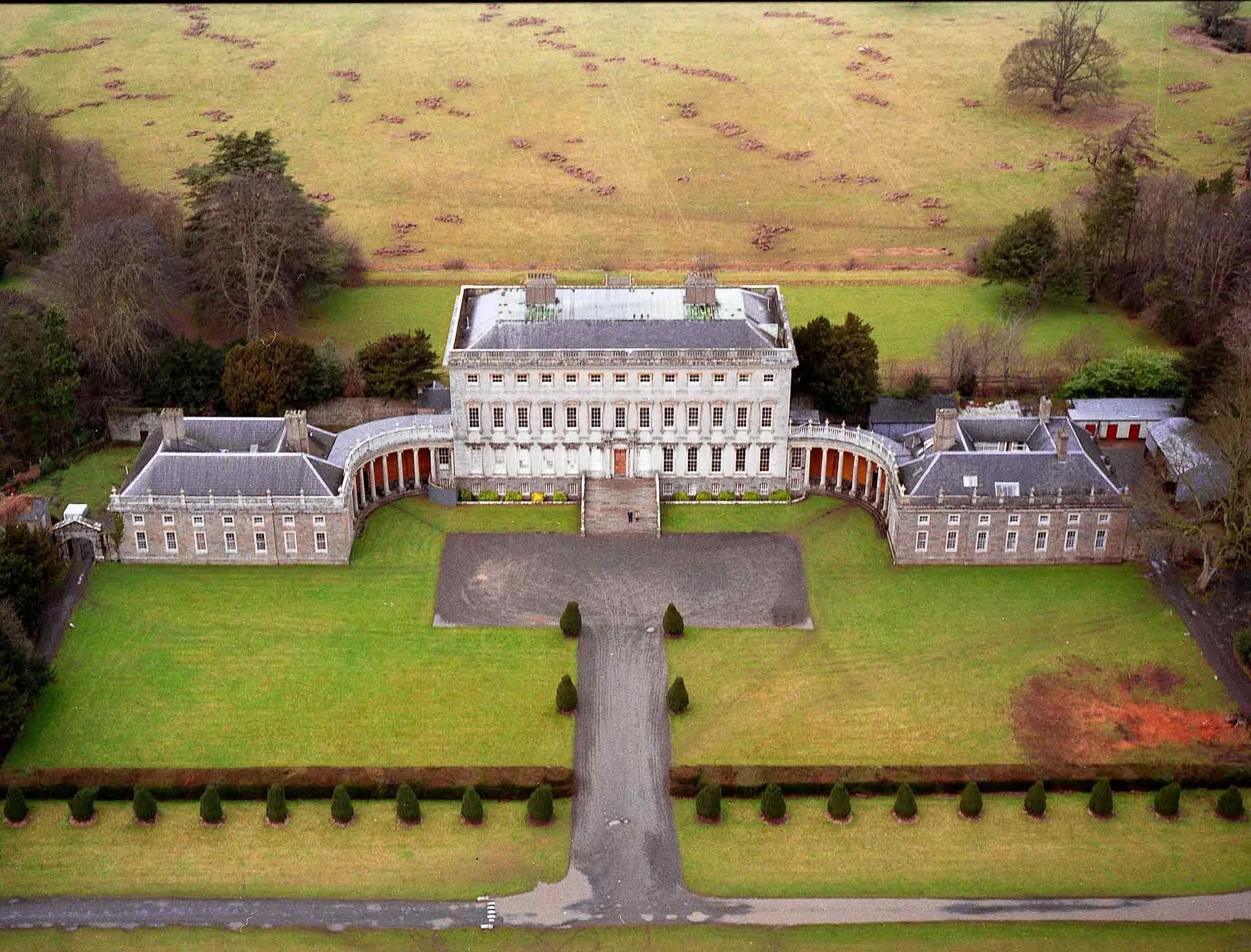 Enclosure in CastletownEnclosure · 162 yd
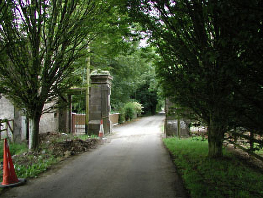 Castletowndemesne walls/gates/railings · 547 yd
 Church (in Ruins)Church · 682 yd
 Ecclesiastical enclosure in Kilmacredock UpperEcclesiastical enclosure · 690 yd
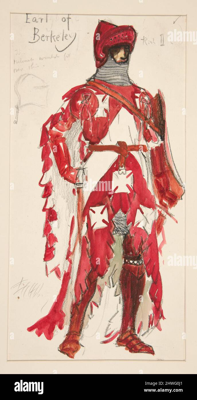 Berkeley Costume and Toy CollectionMuseum · 1323 yd
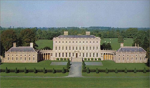 Castletown HouseHeritage attraction · 1350 yd
 CastleCastle, unclassified · 1465 yd
 Natalie MurrayMemorial · 1.1 mi
 Batty Langley WoodsForest · 1.1 mi
 Common LimeCommon Lime · 1.3 mi
 Leixlip Spa - SpringSpring · 1.3 mi
 Arthur GuinessMemorial · 1.4 mi