What is recorded here
Identified in centre-line testing (E4110) in advance of the M11 Gorey to Enniscorthy road scheme and set aside for resolution as Frankfort 5 (Hardy et al. 2010, 39). It is situated on an E-facing slope in an undulating landscape and was completely excavated (E4185) by B. Sutton as a subcircular pit (dims 1.15m x 1m; max. D 0.07m) filled with a single charcoal-rich fill. There was also the terminal of a linear ditch or furrow (Wth 0.9m; D 0.12m; exposed L 4.7m) c. 6m to the S and some post-holes c. 2m W of the terminal. A sample from the pit produced a C14 date of cal. AD 1520-1653, providing a late medieval date. The early medieval settlement (WX011-064----) is c. 80m to the NW, while the unrelated metalworking area (WX011-067----) is c. 90m to the E. (Ruttle 2011; Sutton 2013)
Compiled by: Michael Moore
Date of upload: 26 November, 2013
The monument record does not grant public access. Check the route and ask the landowner before entering private land.
- What survives
- Recorded monument
Places near here
 Habitation site in FrankfortHabitation site · 83 yd
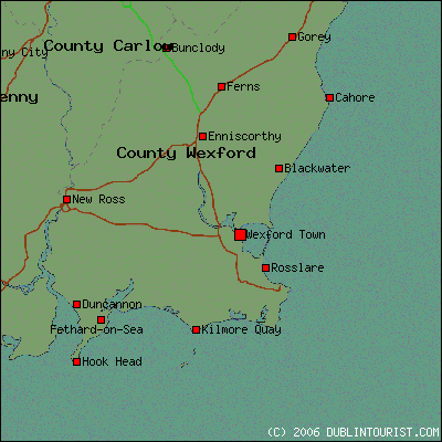 Fulacht fia in FrankfortFulacht fia · 333 yd
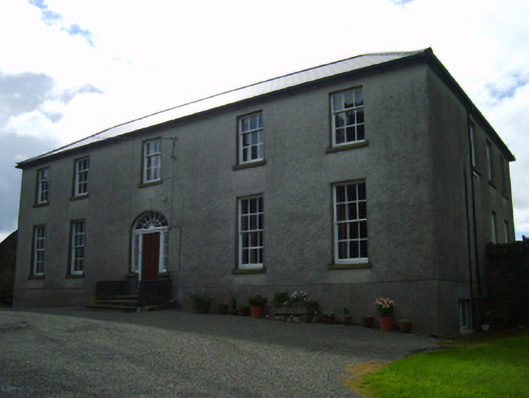 Ballinclay Housefarm house · 946 yd
 farm housefarm house · 1007 yd
 Barnadown WoodWood · 2.0 mi
 Boley HillMountain / peak · 2.3 mi
 Milshoge RockMountain / peak · 2.5 mi
 Camolin WoodForest · 3.6 mi
 Giants BedNamed rock · 3.6 mi
 1798 MonumentMemorial · 3.8 mi
 Market HouseHeritage attraction · 4.1 mi
 Saint Brigid's WellSpring · 5.1 mi