What is recorded here
Gull Island is a possible crannog in County Mayo, Ireland. It stood in the centre of Ballybeg Lough when the lake still filled the flat pasture. Drainage removed the water and the island disappeared from later maps, leaving only a low grassy circle behind.
In a flat expanse of wet pasture, formerly a lake, which is named Ballybeg Lough on the 1838 OS 6-inch map.
This possible crannog is shown on the 1838 OS 6-inch map as a circular island, named ‘Gull Island’, located in the centre of Ballybeg Lough; by the time of the 1930 edition, the lake had been drained and the island is not shown. It consists of a low, subcircular grass-covered rise or platform (15.4m E–W; 14.5m N–S) defined by a low, broadly sloping scarp (H 0.4-0.5m), and is distinguished by a covering of rich green grass which differs from the surrounding rough bog sedges. A band (Wth 3m) of rushes encircles it. The platform appears to be composed of peaty soil incorporating some stones, but no features are visible to definitively confirm that it is an artificial construction rather than a natural island. A few hawthorn, holly and willow bushes grow around the perimeter.
Compiled by: Jane O’Shaughnessy
Date of upload: 25 March 2020
The monument record does not grant public access. Check the route and ask the landowner before entering private land.
- What survives
- Recorded monument
Places near here
 Gull IslandIslet · 7 yd
 IndicatedFairy fort / earthen ringfort · 392 yd
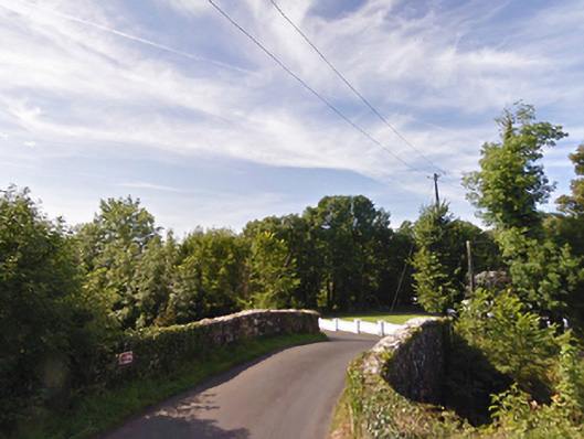 bridgebridge · 548 yd
 Enclosure in CorroyEnclosure · 616 yd
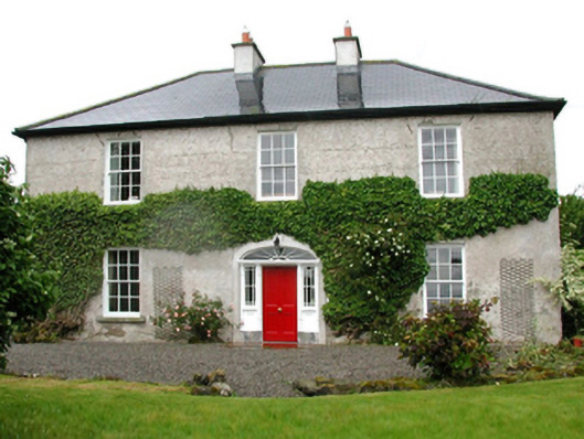 Barnfield Housefarm house · 1.1 mi
 Cloghans CastleCastle, tower house · 1.6 mi
 Castle (in ruins)Castle, unclassified · 1.8 mi
 Battle of Ballinabattle · 3.4 miHumbert MonumentMemorial · 3.5 mi
 Roe IslandIslet · 4.2 mi
 The Marshall Doran CollectionGallery · 4.7 mi
 Belleek WoodsWood · 4.8 mi