
What is recorded here
Places near here
Photo credits
- Colin Park, Geograph · CC BY-SA 2.0
- Maker not stated on source page, www.flickr.com
- Colin Park, Wikimedia Commons · CC BY-SA 2.0
- Nigel Thompson, Geograph · CC BY-SA 2.0
- Ulsterbeef, Wikimedia Commons · CC BY-SA 3.0
- David Smith, Wikimedia Commons · CC BY-SA 2.0
- Albert Bridge, Geograph · CC BY-SA 2.0
- Maker not stated on source page, www.doc.govt.nz
- Maker not stated on source page, www.goodfon.com
- Maker not stated on source page, www.islands.com
- Picture: iStock
 Red Trail, Mount StewartWalking route · 375 yd
Explorer Tom Red Trail, Mount Stewart hosted a dance once where the music got too loud. The folly ruins are still pretending they…
 Medieval church: templecran in Mount StewartMedieval Church: Templecran · 517 yd
Explorer Tom Templecran in Mount Stewart was built by someone who clearly didn't check the weather forecast before starting…
 Temple of the WindsVisitor attraction · 611 yd
Explorer Tom Temple of the Winds does absolutely nothing when nobody is looking except judge your haircut from across the bay. It’s…
The Temple of the WindsEstate Related Structures · 613 ydExplorer Tom The Temple of the Winds at Mount Stewart is showing off again. From the late 1700s, it thinks a breeze is enough to…
 Lake Walk, Mount StewartWalking route · 999 yd
Explorer Tom Lake Walk at Mount Stewart had a matchmaker working there who paired off half the village, but I think she mostly just…
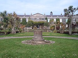 Mount StewartHeritage attraction · 1060 yd
Explorer Tom Mount Stewart makes politics look tidy from the garden path. Mount Stewart looks across Strangford Lough with the…
 Tir n'an OgCemetery · 1163 yd
Explorer Tom Tir n'an Og Cemetery in County Down thinks Dublin tourists are all noise and no taste, especially when they take…
 Mid IslandIslet · 1.5 mi
Explorer Tom Mid Island in County Down is currently being judged by rabbits who think it’s too fancy for its own good because of all…
 Ap site: linear feature in Boretree Island East; Mount StewartAp Site: Linear Feature · 1.5 mi
Explorer Tom Ap site: linear feature in Boretree Island East, Mount Stewart is on an island near Mount Stewart, which sounds fancy…
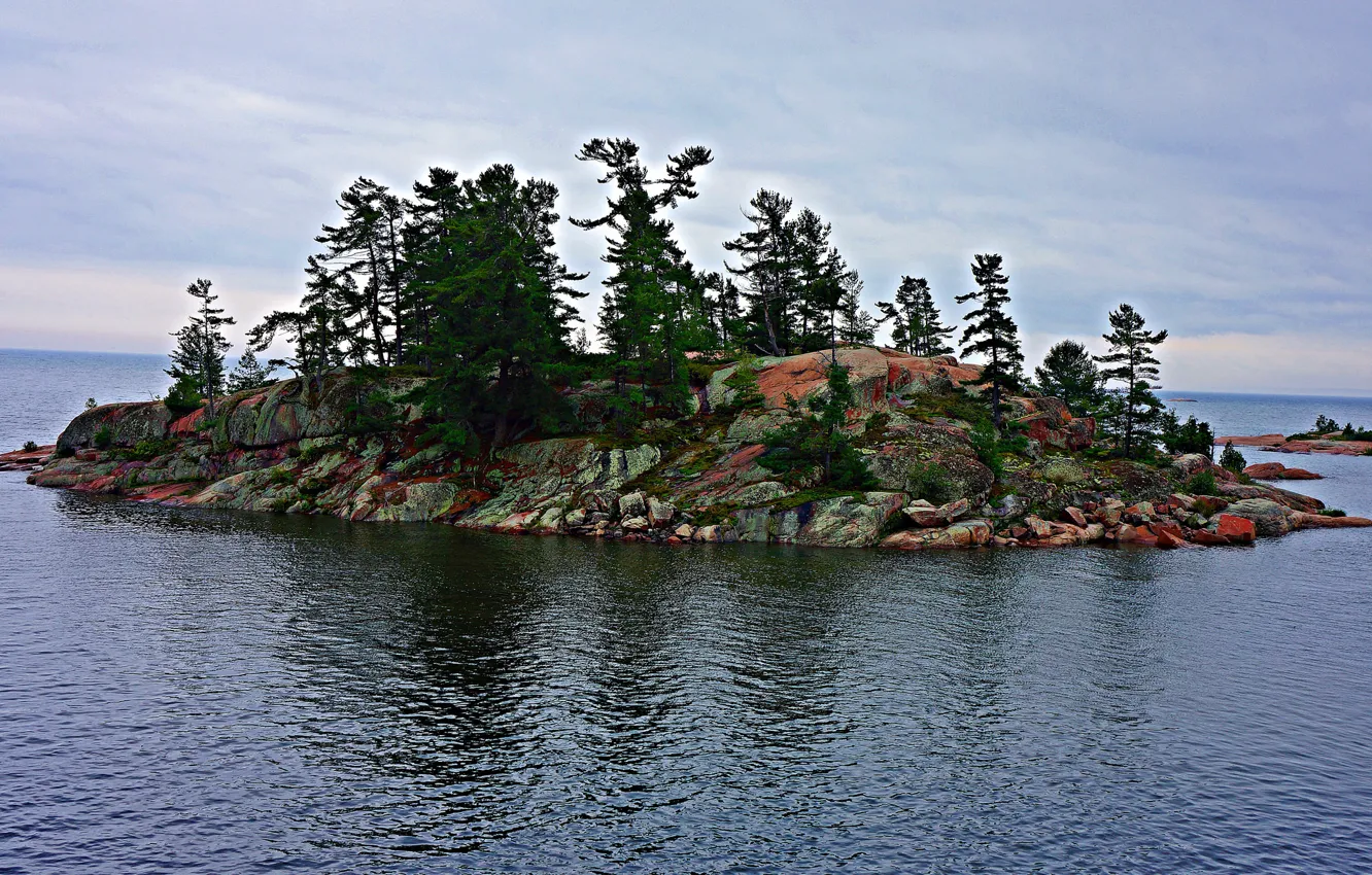 Boretree Island EastIslet · 1.5 mi
Explorer Tom Boretree Island East in County Down is where a local love story went wrong when one partner got stuck on the low-tide…
 Landing stage in Ballyurnanellan; Mid IslandLanding Stage · 1.5 mi
Explorer Tom Landing stage in Ballyurnanellan would survive a zombie attack by just standing still and looking unappetizing. Its…
 Grey Abbey HouseCastle · 1.7 mi
Explorer Tom Grey Abbey House has a superstition that if you touch the wall three times, you’ll find a lost sock later in the day.…
More walking routes in County Down · All of County Down

What do you know about this place?Tap to add a comment or ask a question