What is recorded here
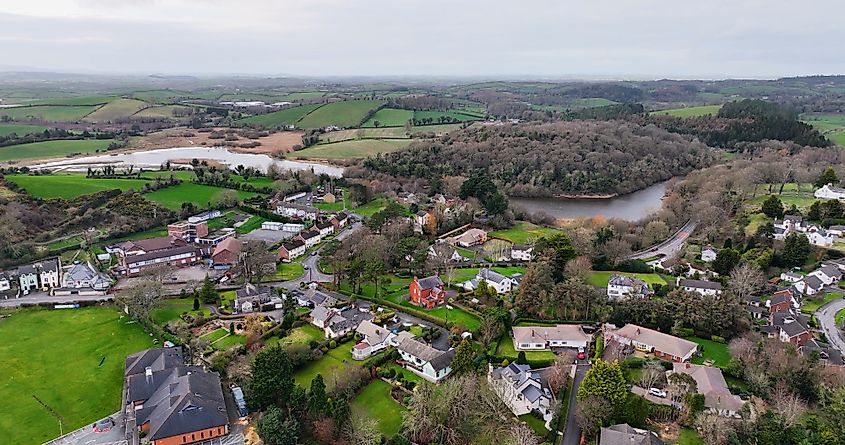
Traymount graveyard stands in Lisserboy, County Down, its boundary marked only by a single point on an official map rather than a wall or gate. The uncertainty of its dates matches the uncertainty of its shape, inviting imagination to fill the gap between known fact and forgotten life. People may have walked this ground for centuries, laying dead beside soil that never gave back a name.
The official Northern Ireland record identifies this as GRAVEYARD: TRAYMOUNT. Recorded period: UNCERTAIN. The official map point was placed at the centre of the recorded archaeological site from the source map reference.
The monument record does not grant public access. Check the route and ask the landowner before entering private land.
- What survives
- Recorded monument
Places near here
 Former National SchoolHall · 1148 yd
 ENCLOSURE in AughintoberENCLOSURE · 1528 yd
 ENCLOSURE? in CarnacallyENCLOSURE? · 1.4 mi
 Dromantine CollegeUniversity/ College Building · 1.9 mi
 Canal WoodWood · 2.4 mi
 OuleyMountain / peak · 3.1 mi
 CASTLE in LoughadianCASTLE · 4.2 mi
 New Street Car ParkVisitor information · 4.5 mi
 Basin Walk Car ParkVisitor information · 4.5 mi
 POST-MEDIEVAL CHURCH & GRAVEYARD: ST. PATRICK'S in NewryPOST-MEDIEVAL CHURCH & GRAVEYARD: ST. PATRICK'S · 4.6 mi
 Newry CenotaphMemorial · 4.6 mi
 1971 Newry killingsmassacre · 4.7 mi