What is recorded here
From the National Monuments Service (Archaeological Survey of Ireland) record CW004-012002
Places near here
Photo credits
- Maker not stated on source page, tr.pinterest.com
- Maker not stated on source page, www.rws.com
- Wanfried-Dublin, Wikimedia Commons · CC BY-SA 4.0
- Maker not stated on source page, www.pexels.com
- National Inventory of Architectural Heritage
- Maker not stated on source page, commons.wikimedia.org
- Maker not stated on source page, www.alamy.com
- Maker not stated on source page, ru.pinterest.com
- Kmcnamee, Wikimedia Commons · CC BY-SA 4.0
- Maker not stated on source page, fi.pinterest.com
 Graveyard at CloghaphuillGraveyard · 9 yd
Explorer Tom Graveyard at Cloghaphuill does weird stuff when nobody is looking, like rearranging the weeds into artistic patterns.…
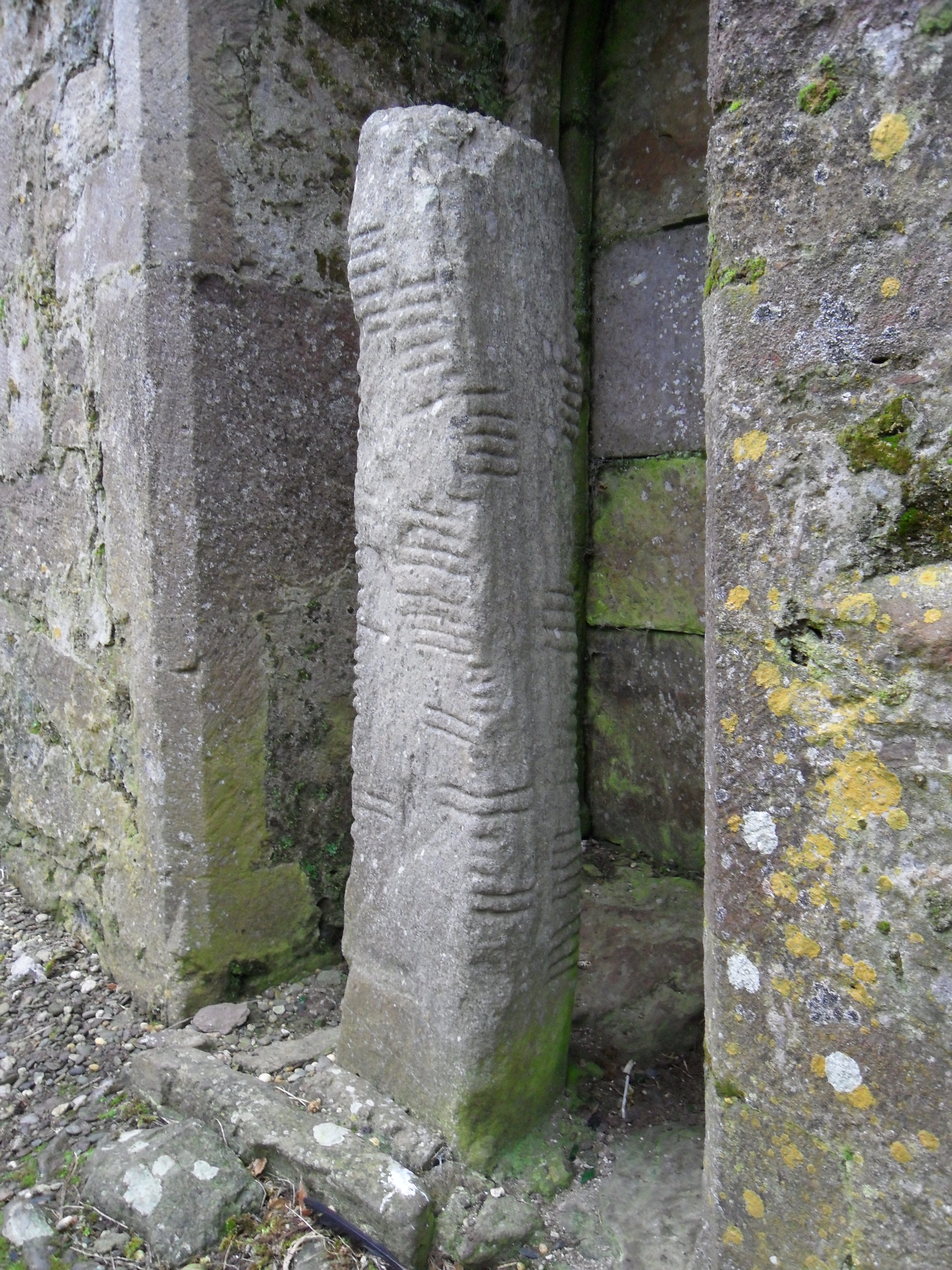 Ogham stone in PatrickswellOgham stone · 563 yd
Explorer Tom Ogham stone in Patrickswell has an escape plan that involves rolling down the hill into the Slaney valley. It’s pink…
 Rathvilly MoatArchaeological place · 973 yd
Explorer Tom Rathvilly Moat sits by a crossroads in Knockroe, just east of Rathvilly village, looking rather like somebody parked a…
 Rathvilly CemeteryCemetery · 1286 yd
Explorer Tom Rathvilly Cemetery is locked in a bitter drama with the largest oak tree on its boundary over whose shadow wins. It’s…
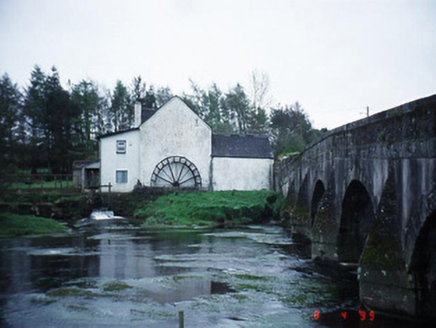 mill (water)1379 yd
Explorer Tom The Patrickswell Mill got a new cast-iron waterwheel in 1830 because the old one probably quit. It’s now a house and…
 Rathvilly BridgeBridge · 1406 yd
Explorer Tom Rathvilly Bridge has a date stone of 1923, so it's not as ancient as it thinks. It might have older bits inside, like a…
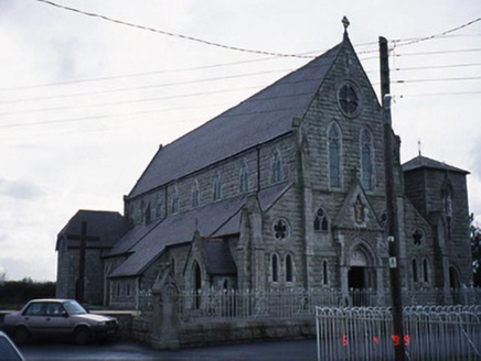 Saint Patrick's Catholic ChurchChurch/chapel · 1515 yd
Explorer Tom Saint Patrick's in Rathvilly has a truncated tower that looks like it got cut short by a very impatient architect with…
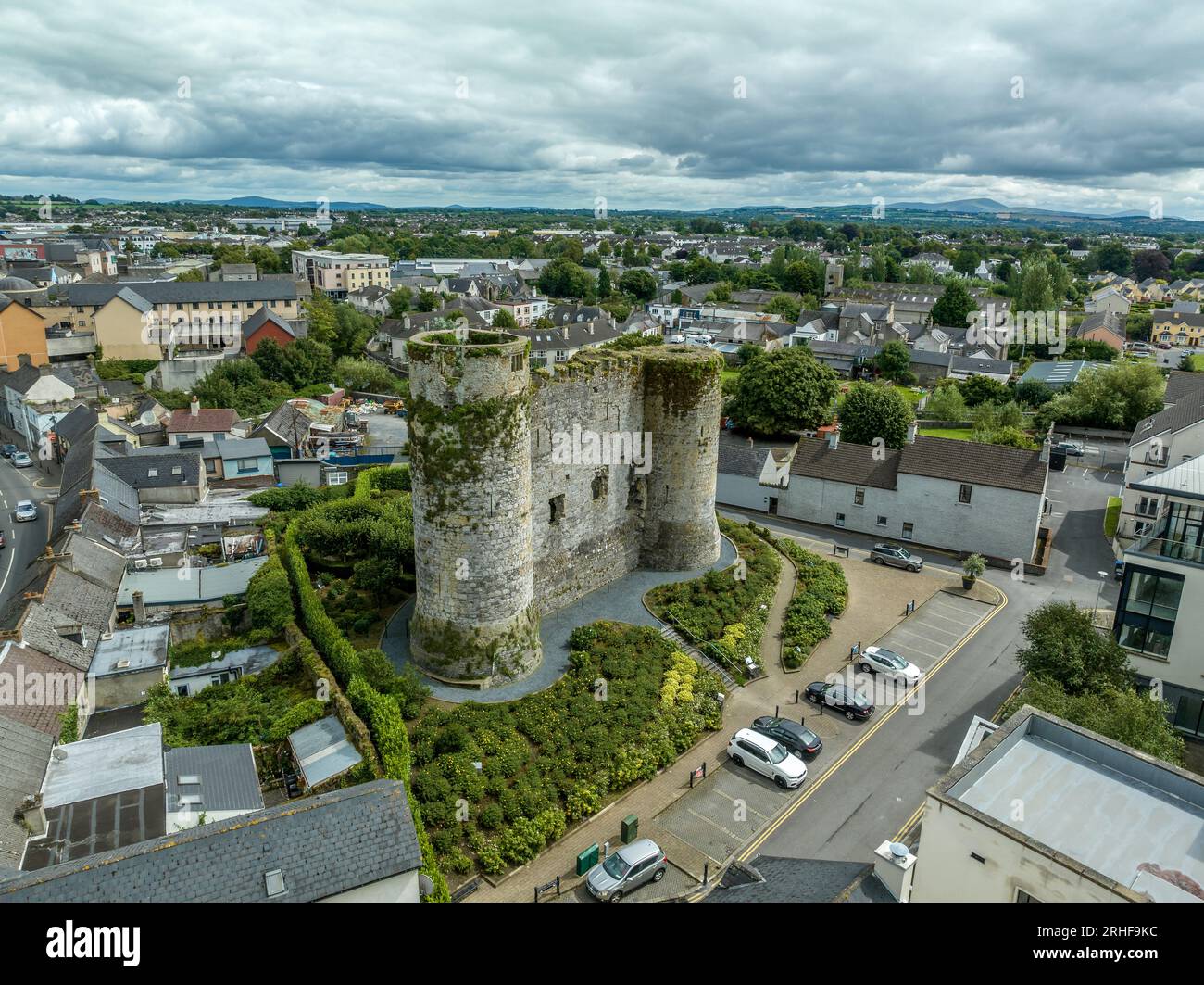 CastleCastle, unclassified · 1603 yd
Explorer Tom Castle in Rathvilly was built on a platform that is basically a very large, level hill with strong opinions about its…
 Standing stone (present location) in BroughillstownStanding stone (present location) · 1615 yd
Explorer Tom Standing stone in Broughillstown is lying against a field bank, looking like it just gave up on standing upright. There…
 Father Ryan Park, RathvillyGAA ground · 1708 yd
 Standing stone in BroughillstownStanding stone · 1.0 mi
Explorer Tom Another Standing stone in Broughillstown is also lying down, grooves and all, waiting for a giant to pick it up and…
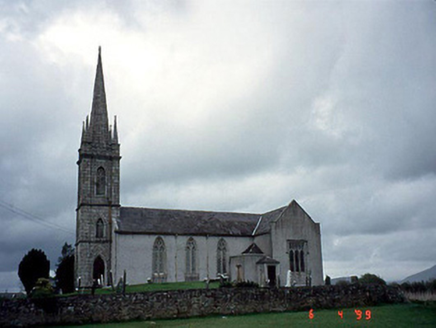 Saint Mary's Church (Rathvilly)Church/chapel · 1.1 mi
Explorer Tom Saint Mary's Church (Rathvilly) in Rathvilly has a spire added in 1810 because the original design needed more height…
More memorials and graveyards in County Carlow · All of County Carlow

What do you know about this place?Tap to add a comment or ask a question