What is recorded here
Graveyard in Turnerstown has vanished completely, leaving only a rectangular shadow of clay beside Whitechurch church where burial marks once lay. The field swallowed the dead and the church together, erasing edges that maps never learned. What remains is a flat tongue of earth in ordinary farmland, holding every name and bone it once kept.
On level ground overlooking a gentle E-facing slope in tillage. Not recorded on any edition of the OS mapping, and according to Fitzsymons (1906, 105), ‘… the surrounding burial-ground [ie. surrounding Whitechurch church (KD035-029001-)] is entirely obliterated.’ In 1986, the church was found to have been destroyed; an almost square patch of unploughed clay (18m E-W; 16m N-S) in a ploughed field marking its site, and no visible surface trace of an associated graveyard was noted(SMR file).
Compiled by: Gearóid Conroy
Date of upload: 17 December 2013
The monument record does not grant public access. Check the route and ask the landowner before entering private land.
- What survives
- Recorded monument
Places near here
 Whitechurch (in Ruins)Church · 1 yd
 Enclosure in BallycullaneEnclosure · 151 yd
 Ecclesiastical enclosure in BallycullaneEcclesiastical enclosure · 244 yd
 Inch CastleCastle, tower house · 1127 yd
 Ballycullane WoodForest · 1318 yd
 Inch WoodForest · 1724 yd
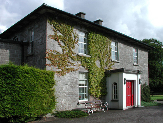 Russellstown Housefarm house · 1.4 mi
 Burtown House and GardensHeritage attraction · 2.0 mi
 Gorden Bennet Race memorialMemorial · 2.4 mi
 History of Moat of ArdscullVisitor information · 2.4 mi
 Ardscull MoatCastle, motte · 2.4 mi
 1798 memorialMemorial · 2.7 mi