What is recorded here
Mullan-na-gCeann, or Place of the Heads, still carries the memory of a brutal battle where the stronger side buried severed heads at the spot and bodies in the adjacent graveyard. The tradition transforms an ordinary rectangular field into a chamber of unresolved violence, where the dead were denied even the dignity of whole forms. Though the church marker faded and the graveyard became disused, the name preserves the shape of the atrocity, forcing every visitor to imagine the weight of that final, humiliating act.
Depicted as a roughly rectangular area (map dims. c. 90m N-S; c. 45-60m E-W) on the 1839 'OS 6-inch' map with a church (CW022-032001-) SW of centre. The 1908 edition of the OS 6-inch map depicts the church by a cross and the graveyard is described as disused.
The OS letters (1839) record a tradition that a battle was fought in Mullan-na-gCeann, and that the stronger party beheaded their enemies, burying their heads on the spot and their bodies in this graveyard. (O' Flanagan 1934, 433, 435)
Reference:
O' Flanagan Ed. 1934 Letters containing information relative to the Antiquities of the County of Carlow collected during the progress of the Ordnance Survey in 1839. Bray
Compiled by: Claire Breen
Date of upload: 19 August 2011
The monument record does not grant public access. Check the route and ask the landowner before entering private land.
- What survives
- Recorded monument
Places near here
 Kilcullaun Church (in ruins), GraveyardChurch · 23 yd
 Enclosure in TinnacarrigEnclosure · 796 yd
 Kyle Church (in ruins), Graveyard (site of)Church · 1549 yd
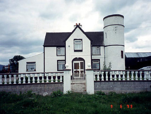 Tower Housefarm house · 1659 yd
 Saint Patrick's Catholic Churchchurch/chapel · 1.1 mi
 The Barrow WayVisitor information · 1.5 mi
 Castle (in ruins)Castle, tower house · 1.9 mi
 ClashgannyWood · 2.2 mi
 Coonogue WoodForest · 2.5 mi
 General Thomas CloneyMemorial · 3.5 mi
 Keating's WellSpring · 3.6 mi
 Tinahinch Castle (in Ruins)Castle, tower house · 3.8 mi