What is recorded here
Graveyard in Skehanagh (killavinoge Par.) stood on a north-facing slope beside a children's burial ground, hiding from both the 1840 and 1904 maps while a tall gable wall watched the pasture. Bulldozers broke the ground in the 1960s, dragging out east-west burials, yet dry summers still burn a square patch of grass where the wall disappeared. The land remembers what cartographers forgot, pressing bones through flags whenever ploughs cut too deep.
Situated on the N-facing slope of a slight rise in undulating reclaimed pastureland. A stream and a children's burial ground (TN023-047) are located c. 60m to the E. Not marked on either the 1st (1840) or the 1904 ed. OS 6-inch map but recorded in the Schools Manuscript (Stout 1984, 105-6). Stout also mentions that a gable wall (H 4.5m) 'survived into this generation' (it is unclear which generation this refers to). According to the landowner the ground was bulldozed some 30-35 years ago (c. 1960s) and burial(s), orientated E-W were found. He had also stated that in dry weather a square area, c. 5.5m wide, is burnt in the grass in the area where the wall stood and that bones 'turned up under flags' during ploughing (Stout 1984, 105-6).
Compiled by: Caimin O'Brien.
Date of upload: 22 September 2008
The monument record does not grant public access. Check the route and ask the landowner before entering private land.
- What survives
- Recorded monument
Places near here
 Castle (in ruins)Castle, unclassified · 1576 yd
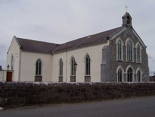 Saint Anne's Catholic Churchchurch/chapel · 1.7 mi
 RoadRoad, unclassified togher · 1.8 mi
 Man-made underground passage in Cullahill (bourney Par.)Man-made underground passage · 2.0 mi
 Enclosure in Clonmore (killavinoge Par.)Enclosure · 2.0 mi
 College HillMountain / peak · 2.8 mi
 Black HillMountain / peak · 3.3 mi
 Clonbuogh Castle (in ruins)Castle, tower house · 3.3 mi
 Carricknasrock WoodWood · 3.7 mi
 Longford WoodForest · 3.8 mi
 Fortescuecottage ornee · 2.2 mi
 Killough Grave Yard (Disused)Ecclesiastical enclosure · 2.3 mi