What is recorded here
Killart, an obliterated churchyard at the north end of a low pasture ridge in County Kildare, was dug up and carted off for top-dressing by an Athy shopkeeper who then suffered bad luck. The grave is now a rectangular hollow, fifteen metres long and twelve wide, open to the northwest with aged ash trees standing beside it. A curving scarp line thirty-six metres south may mark its southern limit, but no gravemarkers remain to confirm what the earth swallowed or the fields consumed.
Adjoining a church (KD031-020001-) at the N end of a short low pasture ridge overlooking a broad expanse of bog immediately to the N. According to Fitzgerald (1899-1902, 62-3), ‘”Killart” is the name of an obliterated churchyard … Some years back, a shopkeeper in Athy … took the farm on which the churchyard stood. … he dug up this old disused burial ground, and carted off human bones and all, for top-dressing his fields. He had no luck afterwards … The site of the burial ground is now a hollow, with two or three aged ash trees standing by.’ There are no visible gravemarkers: a rectangular hollow (base L 15m NW-SE; Wth 12m; D 1.4m) is open to the NW. A curving scarp line (traceable L 22m; H 0.8m) some 36m to the S may mark the graveyard’s S limits?
Compiled by: Gearóid Conroy
Date of upload: 08 October 2013
The monument record does not grant public access. Check the route and ask the landowner before entering private land.
- What survives
- Recorded monument
Places near here
 Enclosure in Oldcourt (bert Ed)Enclosure · 1119 yd
 Derryvullagh IslandForest · 1.1 mi
 Enclosure in ClogorrowEnclosure · 1.2 mi
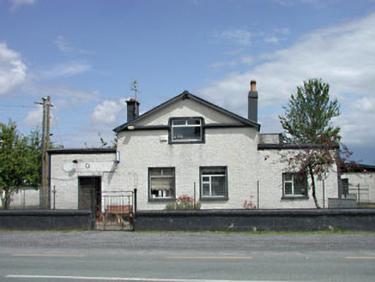 P. JonesRIC barracks · 1.5 mi
 Kilberry Churchchurch/chapel · 1.5 mi
 Reban CastleCastle, Anglo-Norman masonry castle · 2.2 mi
 Scots PineScots Pine · 2.6 mi
 Bawn in Townparks (athy West Urban Ed)Bawn · 2.8 mi
 History of Moat of ArdscullVisitor information · 2.9 mi
 Gorden Bennet Race memorialMemorial · 3.0 mi
 Athy War MemorialMemorial · 3.1 mi
 Town HallMuseum · 3.1 mi