What is recorded here
Naas East holds a graveyard beside St David's Church where medieval pottery and tile still wait beneath the soil. The earth keeps its dead patiently, unchanged by human hurry or forgetting. What is buried there has not gone anywhere, only stopped being visible.
Although not recorded on either edition of the OS 6-inch map (1838 and 1938-9), the OS 25-inch map (19-10) names 'Grave Yd.' immediately SE of St David's Church (KD019-030020-). In 1980, during the lowering of the ground level in an adjoining property, burials, medieval pottery, and a medieval tile were uncovered c. 35m to the NE of the church (SMR file). This suggests that the graveyard also extended in this direction away from the church.
Compiled by: Gearóid Conroy
Date of upload: 10 June 2011
The monument record does not grant public access. Check the route and ask the landowner before entering private land.
- What survives
- Recorded monument
Places near here
 Saint David's Church (Naas)church/chapel · 23 yd
 Church in Naas EastChurch · 24 yd
 CastleCastle, tower house · 80 yd
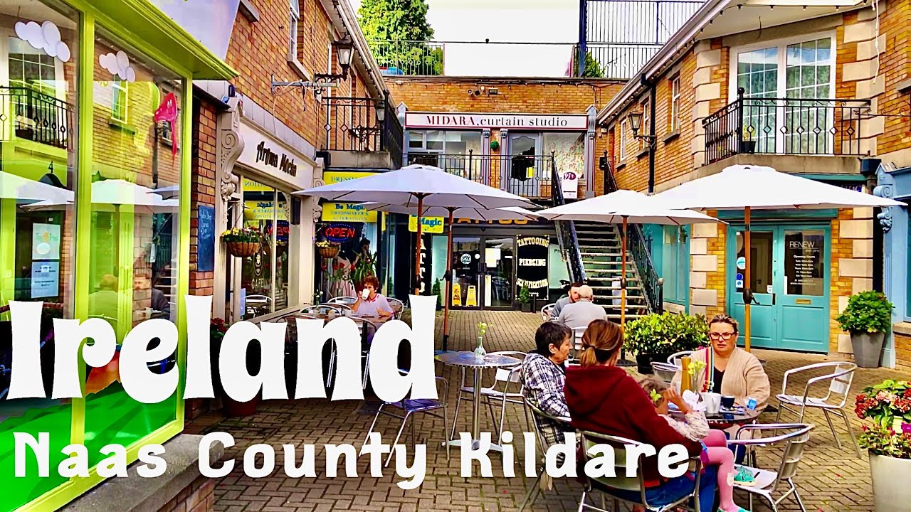 Not indciatedTown defences · 92 yd
 Site of Black CastleCastle, unclassified · 107 yd
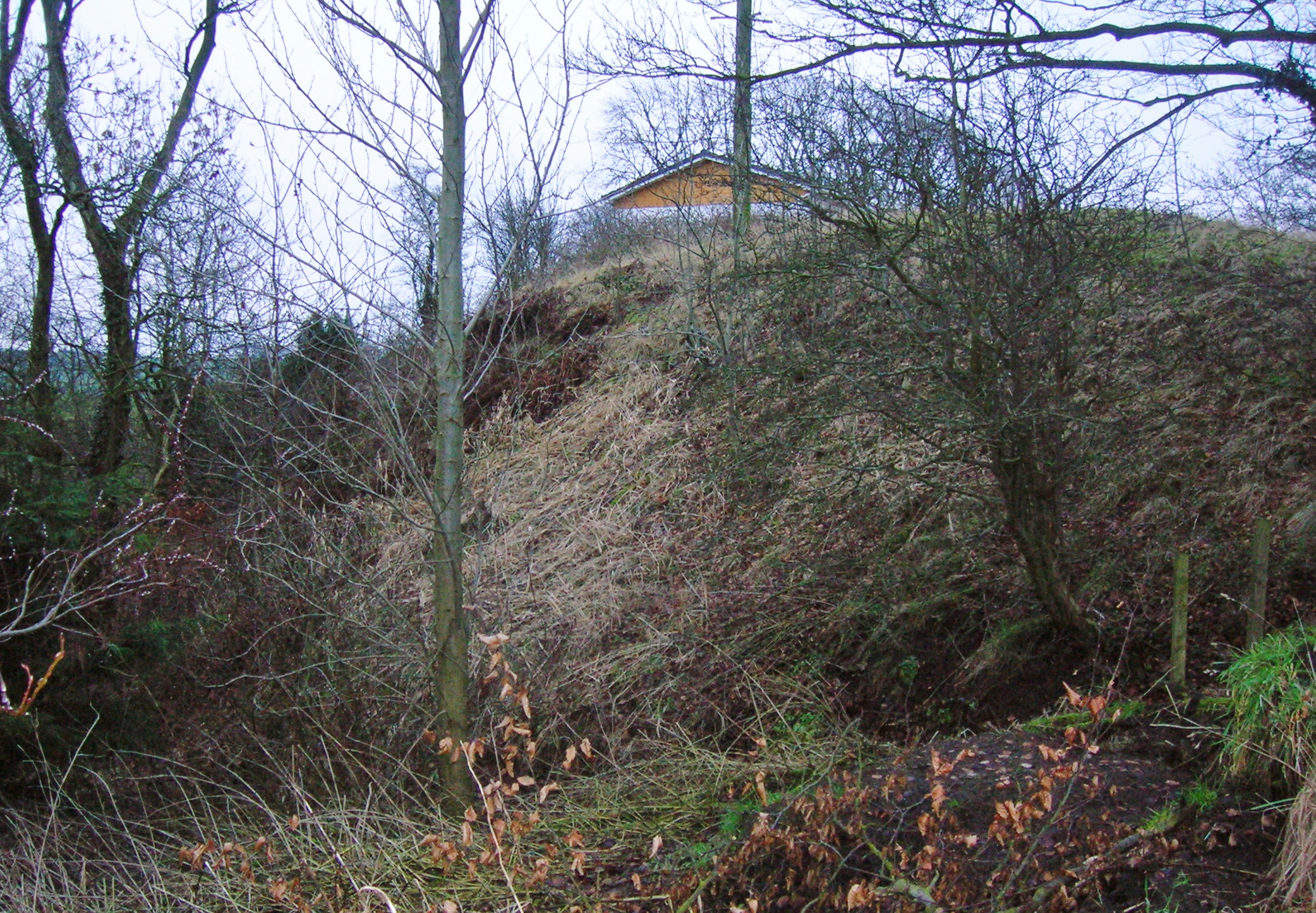 North MoteArchaeological place · 193 yd
 Poplar SquarePicnic place · 204 yd
 Monread District Park WoodsWood · 1662 yd
 Naas ParkWood · 1.0 mi
 Museum of MotorsportMuseum · 4.3 mi
 Cupidstown HillMountain / peak · 6.9 mi
 Athgoe HillMountain / peak · 7.8 mi