
What is recorded here
On the E-side of North Main Street, in a possible graveyard (KD019-030057-). According to Bradley et al. (1986 vol. 4, 359-66), the first direct reference to the church (of St. David) is in 1212 when it was listed among the possessions of St. John of Jerusalem, and it remained the property of the Hospitallers throughout the Middle Ages. An inquisition of 1606 noted that the church contained three chantries, whose priests formed a corporate body with rich endowments (Gwynn and Hadcock 1970, 361). This rectangular structure, built of roughly coursed limestone with granite and tufa quoins and jambs, comprises a 13th century nave and S-aisle (only the footings of the S wall of which survive), to which a chancel was added slightly later, and accessed via a pointed chancel arch (nave and chancel dims. L 30m NE-SW; Wth 9.2m; S-aisle dims. L 20.6m; Wth 5.9m). A tower was added to the SW end of the nave in 1781. The nave is entered through a doorway in the SW gable wall, and is lit by three, pointed, twin-light windows in the N wall and by four modern windows in the S wall, set in the blocked-up pointed arches which formerly opened onto the S-aisle. The chancel is lit by a triple-lancet window in the NE gable. The church contains a high medieval font (KD019-030026-) at its W end and a circular font (KD019-030027-) lies against the N wall. Five 17th century memorial stones (KD019-030028-, KD019-030029-, KD019-030033-, KD019-030034- and KD019-030035-) and two armorial plaques (KD019-030031- and KD019-030032-) are contained within or are affixed to the walls of the church, which is also abutted by a 17th century tomb (KD019-030030-).
Compiled by: Gearóid Conroy
Date of upload: 10 June 2011
The Church in Naas East, dedicated to St. David, was first recorded in 1212 and is located on the east side of North Main Street, possibly within a graveyard. Its significance lies in its early medieval origin and potential role in the religious landscape of the region.
The monument record does not grant public access. Check the route and ask the landowner before entering private land.
- What survives
- Recorded monument
Places near here
Saint David's Church (Naas)church/chapel · 1 yd CastleCastle, tower house · 57 yd
 Naas Presbyterian Churchchurch/chapel · 65 yd
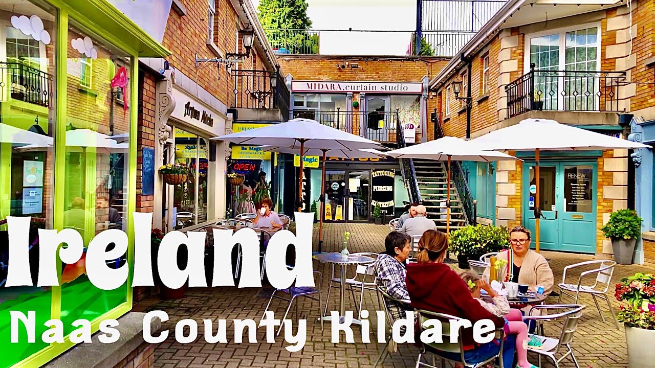 Not indciatedTown defences · 69 yd
 Site of Black CastleCastle, unclassified · 89 yd
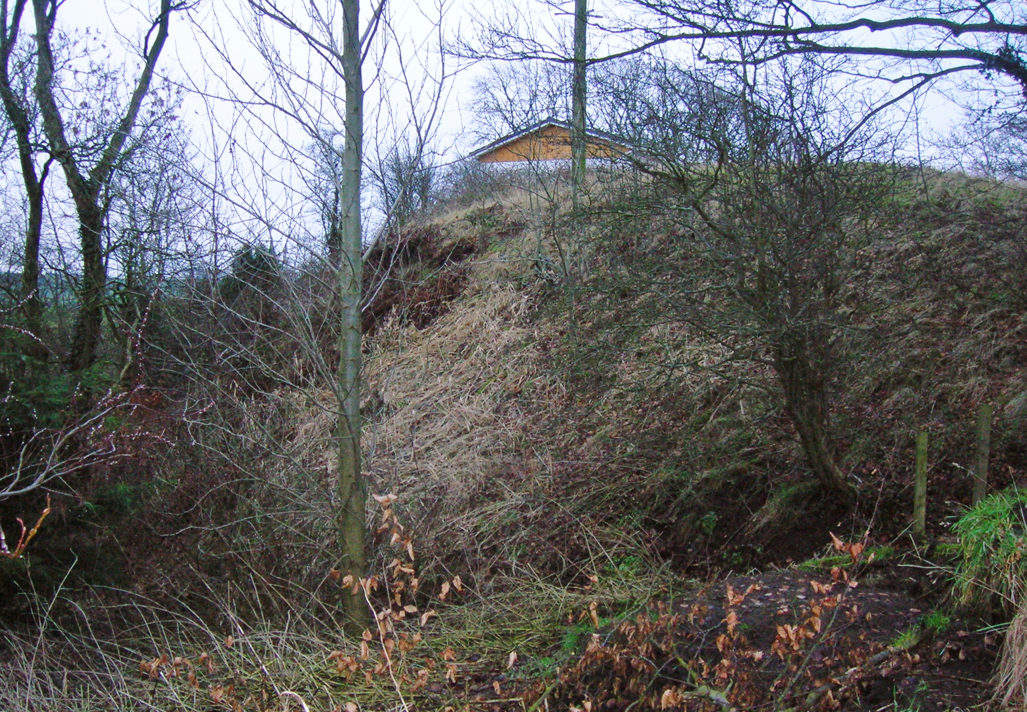 North MoteArchaeological place · 171 yd
 Poplar SquarePicnic place · 209 yd
 Monread District Park WoodsWood · 1664 yd
 Naas ParkWood · 1.0 mi
 Museum of MotorsportMuseum · 4.3 mi
 Cupidstown HillMountain / peak · 6.9 mi
 Athgoe HillMountain / peak · 7.8 mi
Other information
Photo: 瑞丽江的河水 · CC BY-SA 4.0