What is recorded here
Myshall’s graveyard stretches seventy metres east to west in County Carlow, a narrow rectangular strip where a church still stands in the northern half. The ratio suggests people walked farther than they should have, past rows of dead and stone markers, before reaching the building that gave the journey meaning. That distance may have been devotion, poverty or pride, but the shape preserves the effort.
Roughly rectangular graveyard (map dims. c. 70m E-W; c. 25m N-S) with a church (CW017-039001-) in the northern half.
Compiled by: Claire Breen
Date of upload: 19 August 2011
The monument record does not grant public access. Check the route and ask the landowner before entering private land.
- What survives
- Recorded monument
Places near here
 Church (in ruins)Church · 16 yd
 St. Bridgets WellHoly well · 22 yd
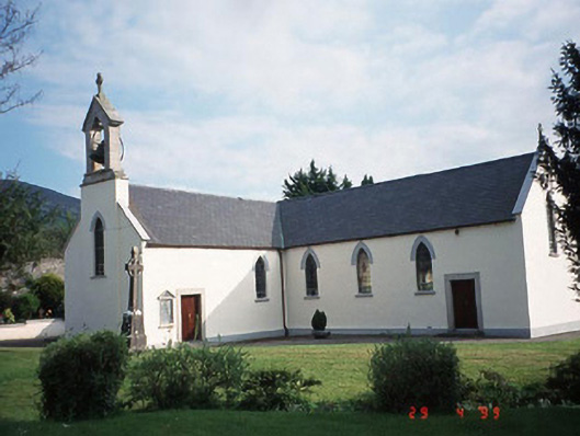 Catholic Church of the Holy Crosschurch/chapel · 103 yd
 Monkey-puzzleMonkey-puzzle · 260 yd
 SycamoreSycamore · 343 yd
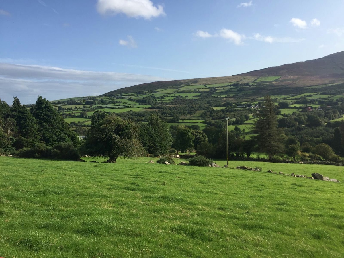 Enclosure in MyshallEnclosure · 1108 yd
 CroaghaunMountain / peak · 1.6 mi
 Rathnageeragh Castle (in ruins)Castle, unclassified · 2.7 mi
 CastleCastle, unclassified · 2.9 mi
 GreenogeMountain / peak · 2.9 mi
 St Bridget's WellSpring · 3.5 mi
 Church (in ruins), GraveyardChurch · 3.7 mi