What is recorded here
Graveyard in Linkardstown stands as a sub-rectangular patch of soil in County Carlow, measuring roughly thirty-five metres north-west to south-east and thirty-three metres north-east to south-west. A church sits roughly centrally within this small boundary, anchoring the dead to the living. The 1839 'OS 6-inch' map drew the graveyard as an oval, with a trackway running north-west to south-east along its south-west edge. That line suggests people still walked past the graves, perhaps visiting, perhaps avoiding, but never forgetting the shape of the place.
A sub-rectangular area (map dims. c. 35m NW-SE; c. 33m NE-SW) with a church (CW012-018001-) roughly centrally placed. On the 1839 'OS 6-inch' map the graveyard is depicted as being oval in shape with a trackway running NW-SE along the SW edge of the graveyard.
Compiled by: Jean Farrelly
Date of upload: 19 August 2011
The monument record does not grant public access. Check the route and ask the landowner before entering private land.
- What survives
- Recorded monument
Places near here
 Font in LinkardstownFont · 1 yd
 Enclosure in LinkardstownEnclosure · 354 yd
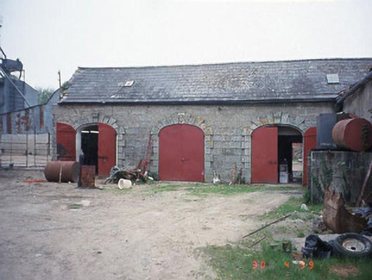 Castletown Castlestables · 1568 yd
 Pedunculate OakPedunculate Oak · 1577 yd
 Saint Joseph's Catholic Churchchurch/chapel · 1.1 mi
 Graveyard in ClonmelshGraveyard · 1.5 mi
 Graiguealug Castle in ruinsCastle, unclassified · 1.5 mi
 Graiguenaspiddoge Castle in ruinsCastle, tower house · 2.0 mi
 Church (in ruins), GraveyardChurch · 2.4 mi
 Common LimeCommon Lime · 3.3 mi
 Brownshill Portal TombVisitor information · 4.0 mi
 Carlow County MuseumMuseum · 4.1 mi