What is recorded here
Kilrush Graveyard is a forgotten oval buried under Tipperary pasture, visible only on an 1843 map and local memory. Sheds built near its southern edge in 1986 uncovered a hidden wall foundation, proving the grave marker still exists beneath the grass. The land may have swallowed the church and graves once recorded there, but the earth keeps its shape waiting for someone to dig beside the new sheds.
Situated on a slight natural rise in undulating pastureland, with ground sloping slightly to the SW. Indicated as 'Kilrush Grave Yd' and outlined as an oval area on the 1st ed. (1843) 6-inch map but not depicted on the 1952-3 ed. Not visible at ground level. According to the landowner, sheds were built near the edge of the S sector c. 10 years ago (c. 1986) and a length of an earlier wall foundation was revealed during the construction work. Also, some wall-footings were revealed in the E sector during ploughing many years ago. There is a local tradition of a church (TN041-074001) being associated with the graveyard.
Compiled by: Caimin O'Brien.
Date of upload: 22 September 2008
The monument record does not grant public access. Check the route and ask the landowner before entering private land.
- What survives
- Recorded monument
Places near here
 Church in KilrushChurch · 50 yd
 Enclosure in KillaharaEnclosure · 1482 yd
 Ballynahow CastleCastle · 1535 yd
 CastleCastle, tower house · 1.0 mi
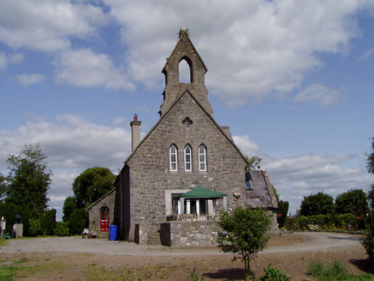 Saint Michael'schurch/chapel · 1.1 mi
 Enclosure in Dovea UpperEnclosure · 1.2 mi
 Cormackstown Heritage CentreMuseum · 2.9 mi
 Lár na PáirceMuseum · 3.1 mi
 Pallas HillMountain / peak · 3.4 mi
 WoodlandWood · 3.8 mi
 KnockaneMountain / peak · 3.8 mi
 Kilvilcorris BogForest · 3.8 mi