
What is recorded here
Situated on a slight natural rise in undulating pastureland, with ground sloping slightly to the SW. Indicated as 'Kilrush Grave Yd' (TN041-074) and outlined as an oval area on the 1st ed. (1843) 6-inch map but not depicted on the 1952-3 ed. Not visible at ground level. According to the landowner, sheds were built near the edge of the S sector c. 10 years ago (c. 1986) and a length of an earlier wall foundation was revealed during the construction work. Also, some wall-footings were revealed in the E sector during ploughing many years ago. There is a local tradition of a church being associated with the graveyard.
The above description is derived from 'The Archaeological Inventory of County Tipperary. Vol. 1 - North Tipperary' compiled by Jean Farrelly and Caimin O'Brien (Dublin: Stationery Office, 2002). In certain instances the entries have been revised and updated in the light of recent research.
Date of upload/revision: 22 September 2008
The monument record does not grant public access. Check the route and ask the landowner before entering private land.
- What survives
- Recorded monument
Places near here
 Ballynahow CastleCastle · 1491 yd
 Enclosure in KillaharaEnclosure · 1516 yd
 CastleCastle, tower house · 1.1 mi
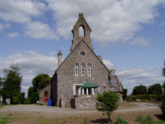 Saint Michael'schurch/chapel · 1.1 mi
 schoolschool · 1.1 mi
 Enclosure in KillinaneEnclosure · 1.2 mi
 Cormackstown Heritage CentreMuseum · 2.9 mi
 Lár na PáirceMuseum · 3.0 mi
 Pallas HillMountain / peak · 3.4 mi
 WoodlandWood · 3.8 mi
 KnockaneMountain / peak · 3.8 mi
 Kilvilcorris BogForest · 3.9 mi
Other information
Photo: Credit not shown in the picture search · Rights wording not checked; contact us if this picture should be removed