What is recorded here
Identified as an irregular-shaped roughly rectangular enclosure (Dims. c. 51m NW-SE; c. 34m NE-SW) on satellite imagery (Tailte Éireann, 2011-2013 Digital Globe; Google Earth, imagery date 5 October 2022). It is possibly associated with a circular enclosure (TN035-065----), with an oval outer enclosure, which lies c. 11m to the SE.
From the National Monuments Service (Archaeological Survey of Ireland) record TN035-092
The monument record does not grant public access. Check the route and ask the landowner before entering private land.
- What survives
- Recorded monument
Places near here
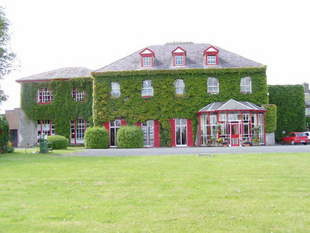 Dovea HouseCountry house · 463 ydEnclosure in LiscreaghEnclosure · 909 yd
 CastleCastle, tower house · 1123 yd
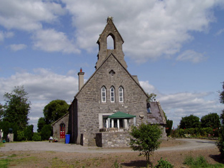 Saint Michael'sChurch/chapel · 1281 ydEnclosure in KillaharaEnclosure · 1626 yd
 Ballynahow CastleCastle · 2.1 miKilvilcorris BogForest · 2.6 miPallas HillMountain / peak · 3.5 mi
 European ash3.5 mi
 Lár na PáirceMuseum · 4.0 miPheasant IslandHeritage attraction · 4.1 miKnockaneMountain / peak · 4.1 mi
Pictures: National Inventory of Architectural Heritage; PerseidsGirl, Wikimedia Commons · CC BY-SA 3.0; dougf, Wikimedia Commons · CC BY-SA 2.0; Willow, Wikimedia Commons · CC BY 2.5; Lár na Páirce Museum, Wikimedia Commons · CC BY 2.0
More archaeology and monuments in County Tipperary · All of County Tipperary
What do you know about this place?