What is recorded here
Inis Gé Thuaidh likely lost its graveyard before maps drew the island, leaving only a cross-slab buried in a southern fence. The church still stands, but the dead withdrew from human memory so completely that even stone became farm equipment. What vanished may have been ordinary: names, grief, and the weight of remembering. Forgetting is not emptiness, but a shape of loss that resists description.
It is likely that St. Columbkille’s Church (MA023-015001-) originally had an associated graveyard, but none is recorded on the 1838 and 1921 OS 6-inch maps or in historical documents, and no trace of one is visible at ground level. A cross-slab (MA023-015003-), which may originally have marked a grave, is known to have been found incorporated into a field fence to SE of the church.
Compiled by: Jane O’Shaughnessy
Date of upload: 28 July 2023
The monument record does not grant public access. Check the route and ask the landowner before entering private land.
- What survives
- Recorded monument
Places near here
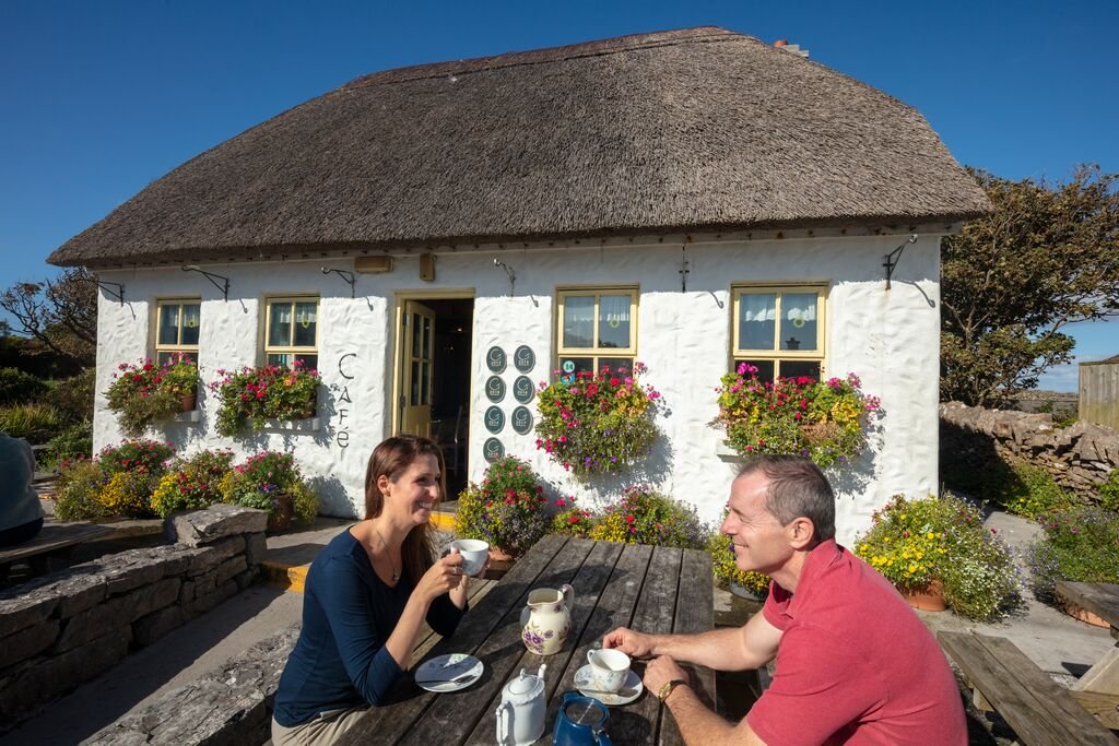 Enclosure in Inis Gé ThuaidhEnclosure · 607 yd
 Inis Gé ThuaidhIsland · 624 yd
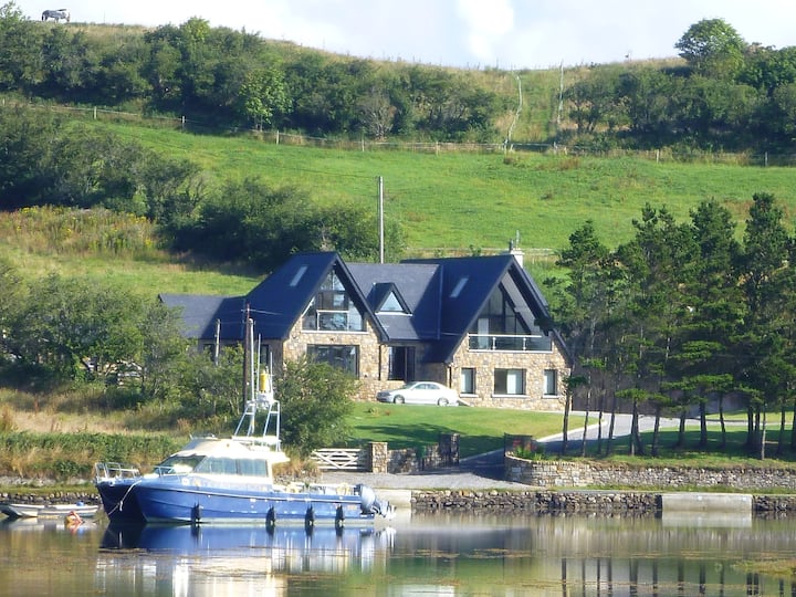 Cross in Inis Gé ThuaidhCross · 891 yd
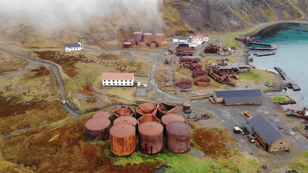 Rusheen Island Whaling StationRuins · 1207 yd
 RoisínIslet · 1269 yd
 Church (in Ruins)Church · 1436 yd
 Site of Redmond Barretts CastleCastle, unclassified · 3.8 mi
 Termon BeachBeach / strand · 4.5 mi
 Trá OilíBeach / strand · 5.1 mi
 Barranagh Castle in RuinsCastle, unclassified · 6.2 mi
 Saddle HeadHeadland · 8.0 mi
 AskilgubroenacoraghHeadland · 8.1 mi