
What is recorded here
From the National Monuments Service (Archaeological Survey of Ireland) record LA029-035001
Places near here
Photo credits
- Maker not stated on source page, www.pinterest.com
- Maker not stated on source page, ru.pinterest.com
- Maker not stated on source page, www.dreamstime.com
- National Inventory of Architectural Heritage
- Laois Today; individual photographer not identified in accessible image or article excerpt, www.laoistoday.ie
- Maker not stated on source page, en.wikipedia.org
- Maker not stated on source page, www.airbnb.co.nz
- Maker not stated on source page, es.findagrave.com
- Algirdas at Lithuanian Wikipedia, Wikimedia Commons · Public domain
 Fairy fort / ringfort in RathFairy fort / ringfort · 688 yd
Explorer Tom Fairy fort / ringfort in Rath got misplaced on the map because the cartographer was drinking too much stout and fell…
 Water CastleCastle, tower house · 1481 yd
Explorer Tom Water Castle would teach history class by throwing bricks at the wrong dates until everyone stopped talking. It got…
 Fairy fort / earthen ringfort in WatercastleFairy fort / earthen ringfort · 1696 yd
Explorer Tom This Watercastle fairy fort has a family tree full of ghosts and questionable relatives. It sits on a ridge, judging…
 Bullaun stone in MoyneBullaun stone · 1718 yd
Explorer Tom Bullaun stone in Moyne has two bowls, one for tea and one for existential dread. Rumor says there’s a tunnel to the…
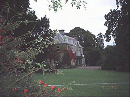 Moyne HouseHouse · 1.1 mi
Explorer Tom Moyne House has a secret talent for making your shoelaces untie themselves. Built in 1730, it’s fancy enough to judge…
 The Harps GAA pitchGAA ground · 1.2 mi
 Church in UnknownChurch · 1.2 mi
Explorer Tom Church in County Laois would tell its replacement that it was lucky to get such good lighting all those years ago. The…
 Castle (in ruins)House, fortified house · 1.2 mi
Explorer Tom Castle in Fermoyle is having a massive drama with the nearest tree over who looks better. Only one gable left, so keep…
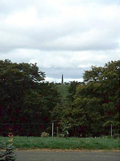 Castle DurrowObelisk · 1.4 mi
Explorer Tom Castle Durrow in Castledurrow Demesne is an obelisk from around eighteen-ten that has been known by so many names you…
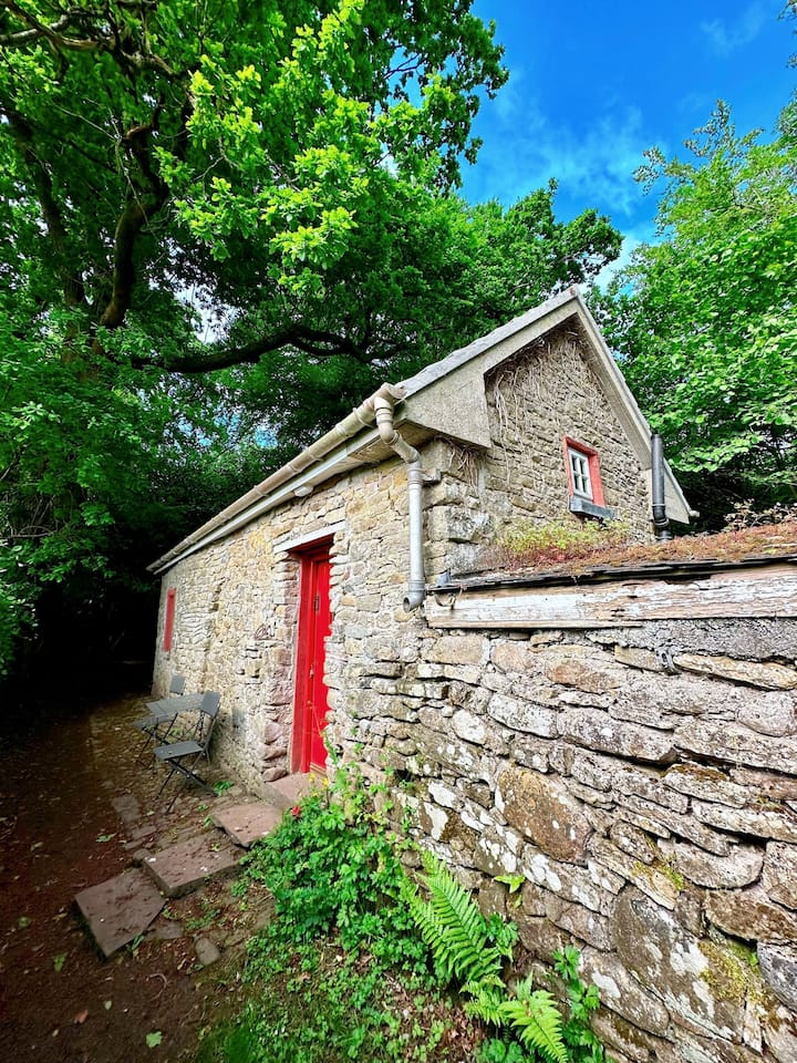 Teahouse WoodForest · 1.4 mi
Explorer Tom Teahouse Wood in County Laois has a fiddler who played there all night and never stopped playing. The sound is still…
 Mapped graveyardGraveyard · 1.5 mi
Explorer Tom This Mapped Graveyard in Laois made a New Year's resolution to stop being so moody, but I’m not sure it’s actually…
 Pedunculate Oak1.7 mi
Explorer Tom Pedunculate Oak in County Laois told its job interviewers it has excellent long-term stability and zero need for…
More memorials and graveyards in County Laois · All of County Laois

What do you know about this place?Tap to add a comment or ask a question