What is recorded here
Kildurrihy village dropped its oldest memory into a narrow lane, forcing cars to divide the grave soil instead of walking around it. The small church and Calluragh burial ground lost their walls, names and shape, leaving only a circular scar where dead people still crowd the living road.
Templebeg and Calluragh burial ground (KE052-038002-) /An Teampall Beag agus An Cheallúnach: The site of the church and burial ground are now marked only by an oval area of waste ground located directly S of Kildurrihy village and traversed N-S by a laneway. In the OSNB (Ventry, 25) it is described as a circular area, 120 feet (36m) in diameter, partly enclosed by a stone wall. Numerous graves and headstones occupied the interior and the foundations of 2 rectangular buildings were discernible.
The above description is derived from J. Cuppage, ‘Corca Dhuibhne. Dingle Peninsula archaeological survey. Ballyferriter. Oidhreacht Chorca Dhuibhne’ (1986), no. 848. In certain instances the entries have been revised and updated in the light of recent research.
Date of upload: 8 August 2013
The monument record does not grant public access. Check the route and ask the landowner before entering private land.
- What survives
- Recorded monument
Places near here
 Church in Cill Ura ThoirChurch · 26 yd
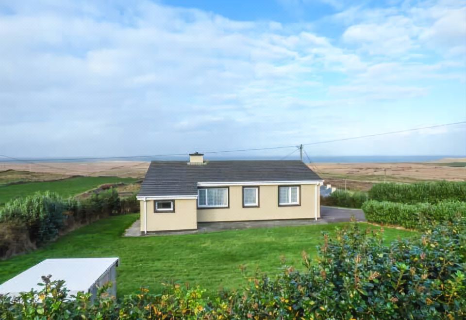 St. Brendans WellHoly well · 215 yd
 Man-made underground passage in Baile An TsléibheMan-made underground passage · 644 yd
 Séipéal Chaitlín Naofa [Saint Catherine's Catholic Church]church/chapel · 1.1 mi
 Rahinnane Castle (in ruins)Castle, tower house · 1.3 mi
 Sliabh an IolairMountain / peak · 1.4 mi
 Irish Famine CottagesMuseum · 1.6 mi
 Dunbeg FortHeritage attraction · 1.8 mi
 Cruach MhárthainMountain / peak · 1.8 mi
 Trá Ciarán BeachBeach / strand · 2.1 mi
 St Brendan's WellSpring · 2.4 mi
 Dún BinneHeadland · 2.5 mi