What is recorded here
St. Brendan's Well/Tobar Bréanainn: This spring well, with a stone and concrete surround, is located at the N end of Kildurrihy village. According to Ó Danachair (1960, 76), rounds were made within living memory, but not recently.
The well was described by Ó Danachair (1960, 76) as 'a spring issuing between two boulders; a little stream runs away. Rounds were made within living memory, but not recently. Rounds consisted of seven circuits of the well during each of which one pater, ten aves and one gloria were said. The water cured sore eyes. Legends : Saint Brendan baptized people here. Water with a fish was taken and could not be heated; the fish was restored to the well but has not been seen since then. A man took a stone from the well and found that it had returned to the well next day. The water turns to wine at Epiphany Eve; a man went to see this with his wife and child and all three were turned into stones which may still be seen'.
See attached photograph of St. Brendan's Well, Co. Kerry, taken 1954 by Caoimhín Ó Danachair courtesy of and © National Folklore Collection, UCD. The Photographic Collection, F025.18.00095 accessible online at https://www.duchas.ie/en/cbeg/16803.
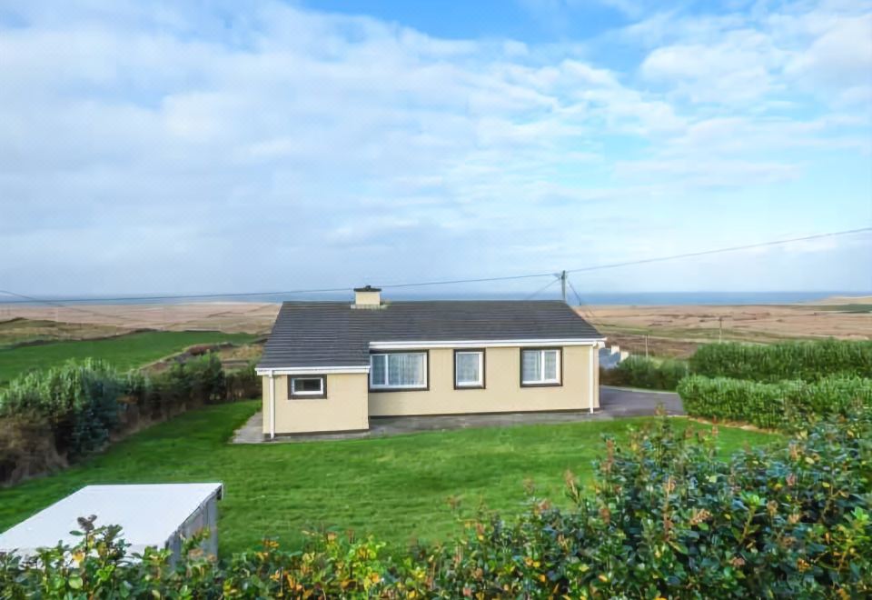
See attached colour photographs courtesy of Amanda Clarke.
The above description is derived from J. Cuppage, ‘Corca Dhuibhne. Dingle Peninsula archaeological survey. Ballyferriter. Oidhreacht Chorca Dhuibhne’ (1986), no. 943. In certain instances the entries have been revised and updated in the light of recent research.
Revised by: Caimin O'Brien
Date of revised upload: 14 April 2022
St. Brendan's Well is associated with St. Brendan the Navigator, a 6th-century Irish monk and saint known for his legendary voyages. The well was historically linked to healing rituals and pilgrimages, with locals making rounds around it for protection or cure, reflecting broader Celtic Christian traditions of holy wells as sites of spiritual and physical healing.
The monument record does not grant public access. Check the route and ask the landowner before entering private land.
- What survives
- Recorded monument
Places near here
 Church in Cill Ura ThoirChurch · 196 yd
 Man-made underground passage in Cill Ura ThiarMan-made underground passage · 590 yd
 Man-made underground passage in Baile An TsléibheMan-made underground passage · 826 yd
 Séipéal Chaitlín Naofa [Saint Catherine's Catholic Church]church/chapel · 1.1 mi
 Rahinnane Castle (in ruins)Castle, tower house · 1.3 mi
 Sliabh an IolairMountain / peak · 1.4 mi
 Cruach MhárthainMountain / peak · 1.7 mi
 Irish Famine CottagesMuseum · 1.7 mi
 Dunbeg FortHeritage attraction · 1.9 mi
 Trá Ciarán BeachBeach / strand · 2.2 mi
 St Brendan's WellSpring · 2.3 mi
 Dún BinneHeadland · 2.5 mi
Other information
Photo: Credit not shown in the picture search · Rights wording not checked; contact us if this picture should be removed