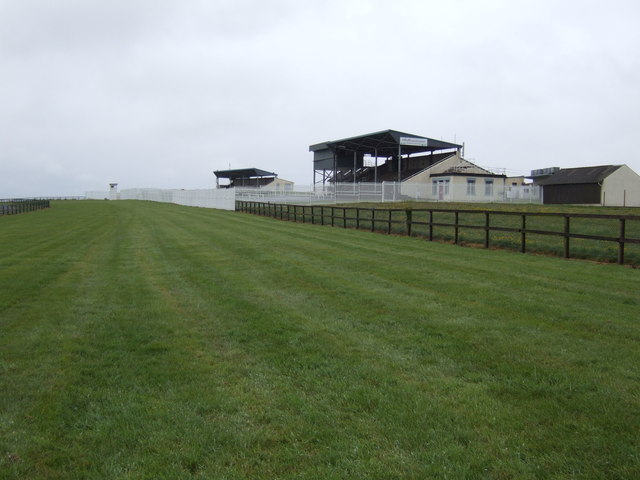
What is recorded here
No visible trace survives of the large, partly collapsed Man-made underground passage (KAS) situated here on good, level land on the lower E slopes of Mount Eagle. A long stone axe or pick was discovered inside and subsequently presented to the Department of Archaeology, UCC.
The above description is derived from J. Cuppage, ‘Corca Dhuibhne. Dingle Peninsula archaeological survey. Ballyferriter. Oidhreacht Chorca Dhuibhne’ (1986), no. 738. In certain instances the entries have been revised and updated in the light of recent research.
Date of upload: 7 August 2013
This remains an important historical record, but the official description says the monument is no longer visible or has been destroyed. The monument record does not grant public access. Check the route and ask the landowner before entering private land.
- What survives
- No visible remains or recorded as destroyed
Places near here
 Church in Cill Ura ThoirChurch · 670 yd
 St. Brendans WellHoly well · 826 yd
 SheepfoldHut site · 1084 yd
 Sliabh an IolairMountain / peak · 1.2 mi
 Séipéal Chaitlín Naofa [Saint Catherine's Catholic Church]church/chapel · 1.2 mi
 Irish Famine CottagesMuseum · 1.3 mi
 Dunbeg FortHeritage attraction · 1.4 mi
 Rahinnane Castle (in ruins)Castle, tower house · 1.7 mi
 Binn an ChomaMountain / peak · 1.8 mi
 Trá Ciarán BeachBeach / strand · 2.0 mi
 Faill BearnaiscCliff · 2.4 mi
 Dún BinneHeadland · 2.4 mi
Other information
Photo: Credit not shown in the picture search · Rights wording not checked; contact us if this picture should be removed