What is recorded here
Graveyard in Bestfield OR Dunganstown stood as a rectangular enclosure with a church near its north-east corner, recorded on the 1839 map before a railway and realigned road cut through its east side. The line reduced the place from roughly fifty to thirty-three metres wide, swallowing the south-east portion where graves may have slept. What remains is a boundary marked by loss, the kind of quiet violence done in the name of progress.
Depicted by a dashed line on the 1839 'OS 6-inch' map as a rectangular enclosure with a church (CW002-002001-) NE of centre. A road ran c. 50m roughly N-S to the E and a lane to a farm ran E-W along the northern boundary of the graveyard. By the latest 6-inch ed. a railway line had been constructed and the road alignment altered to run parallel with this section of the railway line, both road and railway line truncating the E side of the graveyard, particularly the SE portion (map dims. 56m N-S; 33-50m E-W).
Compiled by: Jean Farrelly
Date of upload: 19 August 2011
The monument record does not grant public access. Check the route and ask the landowner before entering private land.
- What survives
- Recorded monument
Places near here
 Church (in ruins), GraveyardChurch · 28 yd
 CastleCastle, unclassified · 333 yd
 Bestfield Locklock · 467 yd
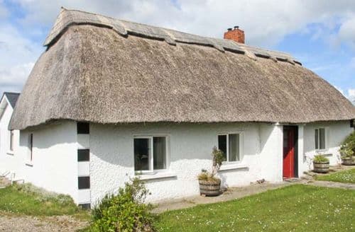 Enclosure in StrawhallEnclosure · 643 yd
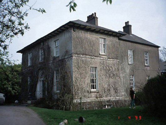 Evington Househouse · 897 yd
 Enclosure in Oakpark OR PainestownEnclosure · 1472 yd
 Oak Park Forest ParkWood · 1.3 mi
 Castle (in ruins)Castle, tower house · 1.3 mi
 White willowWhite willow · 1.4 mi
 VISUAL Centre for Contemporary ArtGallery · 1.6 mi
 Carlow County MuseumMuseum · 1.7 mi
 ProclamationMemorial · 4.9 mi