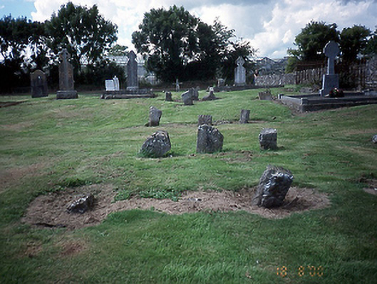
What is recorded here
Graveyard with various cut-stone markers from c.1650 to present. Ruin of church [SMR DU007-008001-] to site.
This does not grant access. Most recorded buildings are privately owned; view them only from public ground unless the owner allows entry.
Places near here
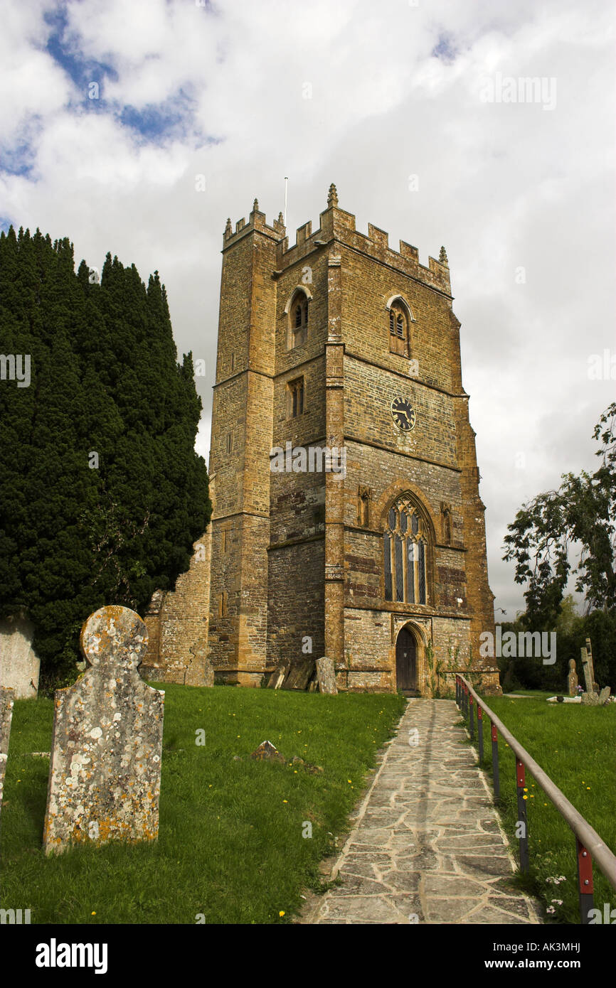 Grave YardGraveyard · 14 yd
 Church (in ruins)Church · 27 yd
 Bridge in WestpalstownBridge · 167 yd
 Enclosure in WestpalstownEnclosure · 443 yd
 St. John's WellSpring · 1.8 mi
 MoatCastle, motte · 2.0 mi
 St Kenny's WellSpring · 2.3 mi
 Wooly Ward's FarmHeritage attraction · 2.4 mi
 Hollywood GreatMountain / peak · 2.7 mi
 Graveyard in KillosseryGraveyard · 2.7 mi
 Cornstown HouseHeritage attraction · 3.3 mi
 Naul HillMountain / peak · 3.4 mi
Other information
Photo: National Inventory of Architectural Heritage · Website use allowed for educational or private purposes with source credit