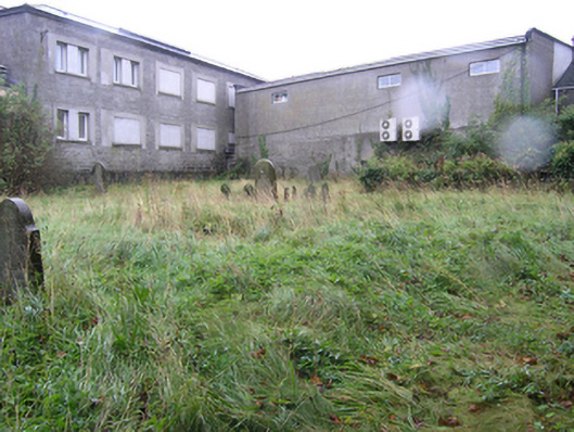
What is recorded here
An early modern graveyard and church ruin, in use between c. 1540 and c. 1800, set in the apex between Church Street and Railway Street, walled to the east and south, behind houses and shops on Church Street and also flanked by the former prison to the south. Rubble stone walls and cast-iron entrance gate in the east wall. Now overgrown.
A graveyard, in use between c.1540 and c.1800, partially walled between Church Street and Railway Street. A ruined, three-stage church tower survives in the north-eastern corner. The triangular shaped area around the church is clearly markedon a 1721 map of the town. As it was a plantation town, it would appear that the area had no religious associations prior to the sixteenth century. With the re-location of St. Peter's Church to Main Street in c.1800, the graveyard began to be neglected and a new graveyard developed around the new church. This is the earliest surviving religious site in the town. The church ruin and graveyard with its early gravestones are an important element of the archaeological and social heritage of Portlaoise. A number of notable personalities are said to be buried here including generations of the famous medical family of Jacob, noted clergymen, and the remains of the highwayman Grant, the last man to be publicly hanged in Maryborough in 1816.
This does not grant access. Most recorded buildings are privately owned; view them only from public ground unless the owner allows entry.
Places near here
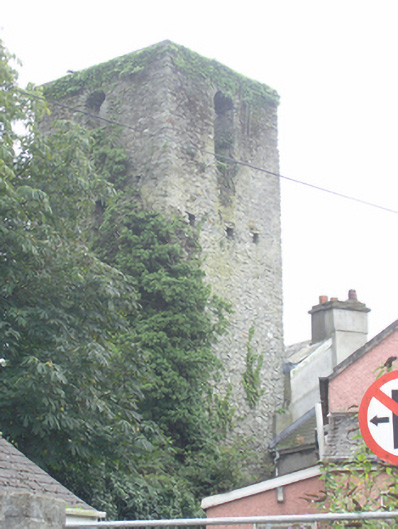 church/chapelchurch/chapel · 23 yd
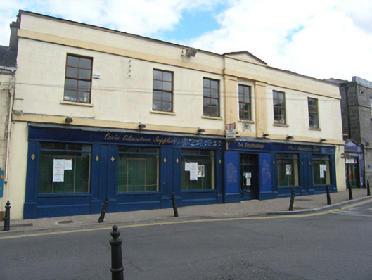 officeoffice · 27 yd
 Portlaoise CourthouseMemorial · 88 yd
 Old Barrack, Mill LandCastle, unclassified · 102 yd
 ConventCastle, tower house · 222 yd
 Town defences in MaryboroughTown defences · 288 yd
 Ridge Grave YardGraveyard · 400 yd
 Burial Ridge of MaryboroughMemorial · 425 yd
 Rock of DunamaseCastle · 3.7 mi
 Rock of Dunamase InformationVisitor information · 3.8 mi
 Rock of CashelMountain / peak · 3.8 mi
 SycamoreSycamore · 5.3 mi
Other information
Photo: National Inventory of Architectural Heritage · Website use allowed for educational or private purposes with source credit