What is recorded here
Graveslab in Townparks North is a thirteenth or fourteenth-century limestone cross-slab set into the tower of St Patrick's church. Its coffin shape and compass-made circles suggest it marked a buried body before becoming part of the church wall. The stone still stands where restoration work exposed it, carrying the patience of medieval making into the present room.
From Potterton (2005, App. 13, 394-5, No. 1, Fig. 11, 1)
Thirteenth/fourteenth-century cross-slab
Set at floor level into north end of the west wall inside the tower of St Patrick's church (ME036-048012-), this small, coffin-shaped limestone cross-slab probably dates to the thirteenth or fourteenth century. It has an incised cross, the terminals, knop and centre of which are formed from compass-made circles. It was discovered during restoration work in 1937, ‘built into the north wall of the church, near the present organ chamber’ (from a placard). [Length: 69cm; Width: 26cm at top, decreasing to 16cm at bottom; Depth: 15cm].
Date of upload: 16 February, 2015
Thirteenth- or fourteenth-century Christian cross-slab; likely funerary in function. Its carved cross indicates medieval Christian burial practices and may be associated with an ecclesiastical or elite burial.
The monument record does not grant public access. Check the route and ask the landowner before entering private land.
- What survives
- Recorded monument
Places near here
 Cross in Townparks NorthCross · 1 yd
 Saint Patrick's Cathedral (Trim)cathedral · 13 yd
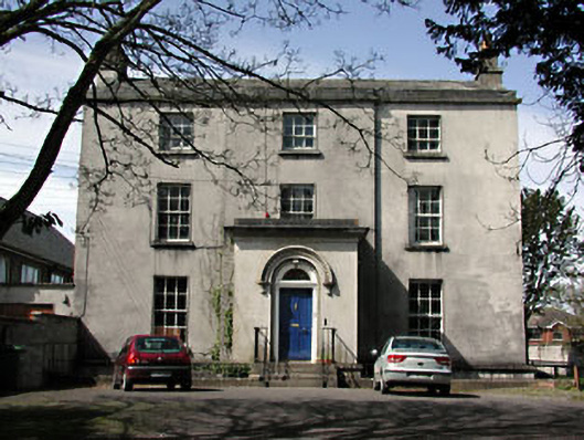 The Old Rectoryrectory/glebe/vicarage/curate's house · 99 yd
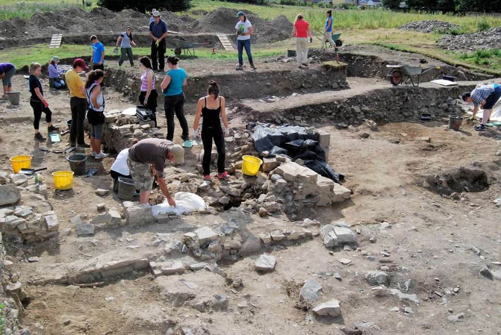 The Blackfriary Community Heritage and Archaeology ProjectArchaeological place · 233 yd
 CastleCastle, hall-house · 445 yd
 Trim CastleCastle, Anglo-Norman masonry castle · 519 yd
 Small-leaved ElmSmall-leaved Elm · 3.7 mi
 Wych ElmWych Elm · 3.7 mi
 Tara Open StudioGallery · 7.6 mi
 Kilgar GardensHeritage attraction · 9.4 mi
 MullaghMountain / peak · 9.5 mi
 Old Bog Road made famous by Teresa Bryton 1868-1943Memorial · 9.5 mi