What is recorded here
Graveslab in Rathmichael is a half-buried granite marker south of the church, likely cut to stand upright before soil and time laid it flat. It lies on the east slopes of Carrickgollogan, convex and worn, with no name left visible. Whatever person it marked has vanished into the hill, but the stone still points to that loss.
This graveslab lies half buried S of Rathmichael church (DU026-050002-). It is formed from granite (L 1.67m x Wth 0.4m-0.5m x T 0.16m). It is convex in outline. It was probably intended to stand in an upright position (Healy 2009, 69; Swords 2009, 69). The church lies on the E slopes of Carrickgollogan.
Compiled by: Geraldine Stout and Padraig Clancy.
Revised by: Caimin O'Brien
Date of revised upload: 17 May 2023
The monument record does not grant public access. Check the route and ask the landowner before entering private land.
- What survives
- Recorded monument
Places near here
 Rathmichael ChurchChurch · 1 yd
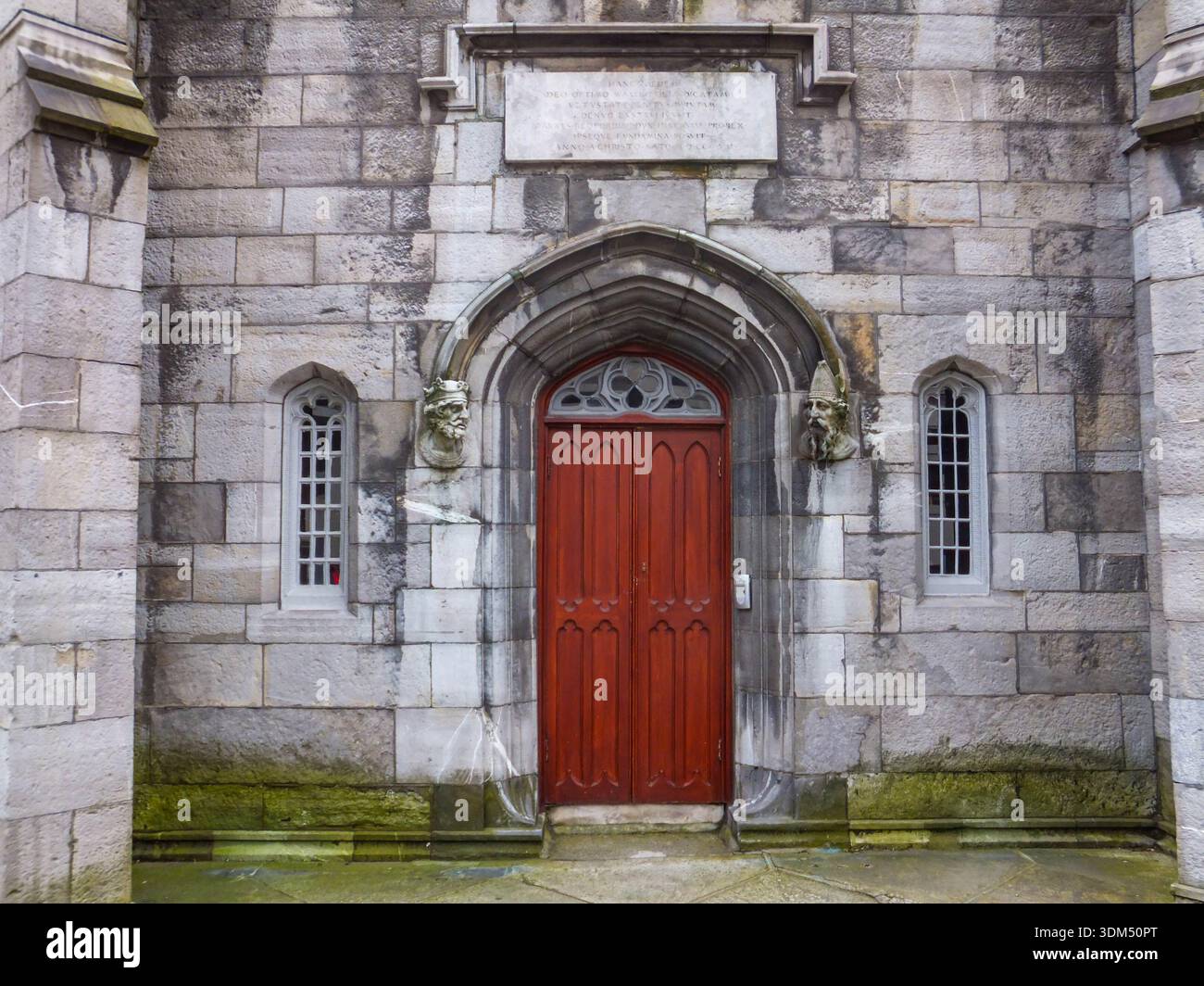 Ecclesiastical enclosure in RathmichaelEcclesiastical enclosure · 73 yd
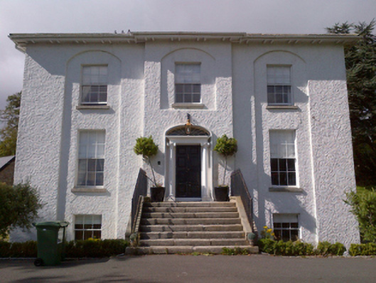 Shankill Housecountry house · 316 yd
 Cross (present location) in ShankillCross (present location) · 460 yd
 Rathmichael WalkWalking route · 508 yd
 Bawn in RathmichaelBawn · 683 yd
 Puck's CastleCastle · 688 yd
 Dublin Mountains Way Trailhead SignVisitor information · 1614 yd
 Loughlinstown WoodsNature reserve · 1.1 mi
 Carrickgollogan HillMountain / peak · 1.2 mi
 Monterey CypressMonterey Cypress · 1.4 mi
 Michael DavittMemorial · 1.6 mi