What is recorded here
This graveslab (L 0.6m x Wth 0.47m) is a small stone bearing one cup-mark and traces of horizontal and vertical lines (Healy 2009, 89). It has been secured to the external face of the S wall of Rathmichael Church (DU026-050002-). The church lies on the E slopes of Carrickgollogan.
See attached drawing of graveslab taken from Healy 2009, 89.
To see a 3D model of this stone visit https://skfb.ly/oH8xp
Compiled by: Geraldine Stout and Padraig Clancy.
Revised by: Caimin O'Brien
Date of revised upload: 17 May 2023
The monument record does not grant public access. Check the route and ask the landowner before entering private land.
- What survives
- Recorded monument
Places near here
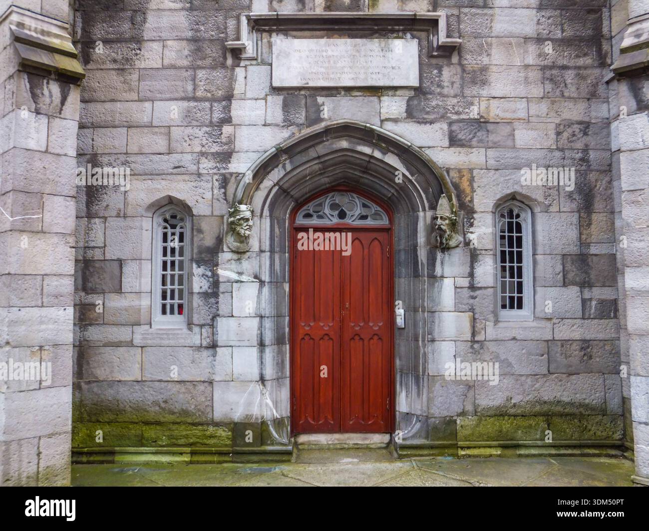
 Rathmichael ChurchChurch · 12 yd
 Ecclesiastical enclosure in RathmichaelEcclesiastical enclosure · 62 yd
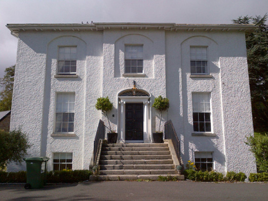 Shankill Housecountry house · 325 yd
 Cross (present location) in ShankillCross (present location) · 463 yd
 Rathmichael WalkWalking route · 499 yd
 Bawn in RathmichaelBawn · 671 yd
 Puck's CastleCastle · 677 yd
 Dublin Mountains Way Trailhead SignVisitor information · 1624 yd
 Loughlinstown WoodsNature reserve · 1.1 mi
 Carrickgollogan HillMountain / peak · 1.2 mi
 Monterey CypressMonterey Cypress · 1.4 mi
 Michael DavittMemorial · 1.6 mi